Bullfrog Basin
Airport details
| Country | United States of America |
| State | Utah |
| Region | K2 |
| Airspace | Denver Ctr |
| Municipality | Garfield County |
| Elevation | 4166ft (1270m) |
| Timezone | GMT -7 |
| Coordinates | 37.54583, -110.71320 |
| Magnetic var | |
| Type | land |
| Available since | X-Plane v10.40 |
| ICAO code | U07 |
| IATA code | n/a |
| FAA code | n/a |
Communication
| BULLFROG BASIN CTAF/UNICOM | 122.800 |
Runway info
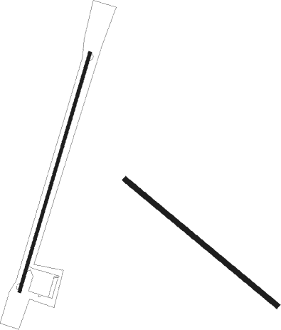
Runway 13 / 31  | ||
| length | 848m (2782ft) | |
| bearing | 128° / 308° | |
| width | 21m (70ft) | |
| surface | dirt | |
| Runway 1 / 19 | ||
| length | 1069m (3507ft) | |
| bearing | 26° / 206° | |
| width | 12m (40ft) | |
| surface | asphalt | |
Nearby beacons
| code | identifier | dist | bearing | frequency |
|---|---|---|---|---|
| PGA | PAGE VOR/DME | 50.9 | 230° | 117.60 |
| HVE | HANKSVILLE VORTAC | 52.3 | 1° | 115.90 |
Disclaimer
The information on this website is not for real aviation. Use this data with the X-Plane flight simulator only! Data taken with kind consent from X-Plane 12 source code and data files. Content is subject to change without notice.