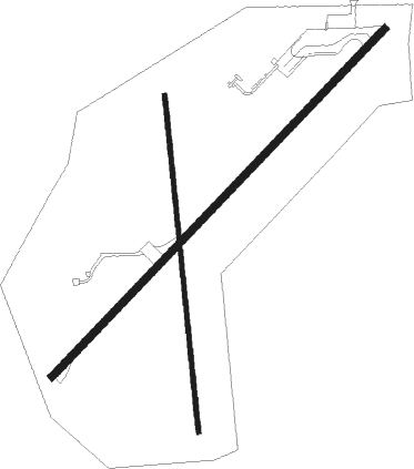
Preston
Airport details
| Country | United States of America |
| State | Idaho |
| Region | K1 |
| Airspace | Salt Lake City Ctr |
| Municipality | Franklin County |
| Elevation | 4728ft (1441m) |
| Timezone | GMT -7 |
| Coordinates | 42.10691, -111.91254 |
| Magnetic var | |
| Type | land |
| Available since | X-Plane v10.40 |
| ICAO code | U10 |
| IATA code | n/a |
| FAA code | n/a |
Communication
| PRESTON CTAF/UNICOM | 122.800 |
Nearby Points of Interest:
Franklin County Courthouse
-Matthias Cowley House
-Franklin Historic Properties
-Franklin City Hall
-Richmond Tithing Office
-Clarkston Tithing Granary
-United Presbyterian Church
-Oneida County Courthouse
-Jedd Jones House
-D.L. Evans Sr. Bungalow
-Malad Second Ward Tabernacle
-Smithfield Tithing Office
-Samuel and Lana Ewing House
-John E. Lee House
-Tony Grove Ranger Station Historic District
-Hampton's Ford Stage Stop and Barn
-Logan LDS Sixth Ward Church
-River Heights Sinclair Station
-Paris Cemetery
-Anna Nielsen Scofield House
-Wallentine Farmstead
-Alfred Budge House
-Ezra Allred Bungalow
-Fred Price Bungalow
-Taft Budge Bungalow

Nearby beacons
| code | identifier | dist | bearing | frequency |
|---|---|---|---|---|
| LHO | BRIGHAM CITY (LOGAN) VOR/DME | 19.3 | 197° | 112.90 |
| MLD | MALAD CITY VOR/DME | 24.6 | 280° | 117.40 |
| OGD | OGDEN VORTAC | 53.6 | 192° | 115.70 |
| PIH | POCATELLO VOR/DME | 56.3 | 316° | 112.60 |
| PI | TYHEE (POCATELLO) NDB | 57.9 | 325° | 383 |
| HIF | HILL (OGDEN) TACAN | 59.2 | 183° | 111.20 |
| EVW | EVANSTON VOR/DME | 63.3 | 134° | 109.60 |
Disclaimer
The information on this website is not for real aviation. Use this data with the X-Plane flight simulator only! Data taken with kind consent from X-Plane 12 source code and data files. Content is subject to change without notice.