Saint Anthony - Stanford Fld
Airport details
| Country | United States of America |
| State | Idaho |
| Region | K1 |
| Airspace | Salt Lake City Ctr |
| Municipality | St. Anthony |
| Elevation | 4964ft (1513m) |
| Timezone | GMT -7 |
| Coordinates | 43.95016, -111.68469 |
| Magnetic var | |
| Type | land |
| Available since | X-Plane v10.40 |
| ICAO code | U12 |
| IATA code | n/a |
| FAA code | n/a |
Communication
| Stanford Fld CTAF | 122.900 |
Nearby Points of Interest:
Fremont County Courthouse
-St. Anthony Pegram Truss Railroad Bridge
-Idaho State Industrial School Women's Dormitory
-Madison County Courthouse
-Rexburg Stake Tabernacle
-Jacob Spori Building
-Independent Order of Odd Fellows Hall
-Conant Creek Pegram Truss Railroad Bridge
-I.O.O.F. Building
-Jefferson County Courthouse
-Bishop Mountain Lookout
-Teton County Courthouse
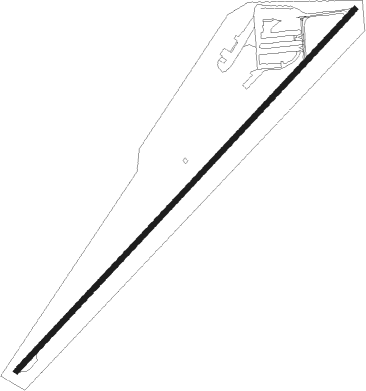
Runway info
| Runway 4 / 22 | ||
| length | 1387m (4551ft) | |
| bearing | 57° / 237° | |
| width | 15m (50ft) | |
| surface | asphalt | |
| displ threshold | 91m (299ft) / 165m (541ft) | |
Nearby beacons
| code | identifier | dist | bearing | frequency |
|---|---|---|---|---|
| DBS | DUBOIS VORTAC | 24.1 | 285° | 116.90 |
| IDA | IDAHO FALLS VOR/DME | 30.6 | 221° | 113.85 |
| LO | TARGY (WEST YELLOWSTONE) NDB | 43 | 38° | 415 |
| JAC | JACKSON VOR/DME | 45.8 | 109° | 115.40 |
| WYS | YELLOWSTONE DME | 49.7 | 37° | 114.85 |
| PI | TYHEE (POCATELLO) NDB | 69.4 | 220° | 383 |
Disclaimer
The information on this website is not for real aviation. Use this data with the X-Plane flight simulator only! Data taken with kind consent from X-Plane 12 source code and data files. Content is subject to change without notice.