Atomic City - Coxs Well
Airport details
| Country | United States of America |
| State | Idaho |
| Region | |
| Airspace | Salt Lake City Ctr |
| Municipality | Blaine County |
| Elevation | 5034ft (1534m) |
| Timezone | GMT -7 |
| Coordinates | 43.21729, -113.23254 |
| Magnetic var | |
| Type | land |
| Available since | X-Plane v11.51r1 |
| ICAO code | U48 |
| IATA code | n/a |
| FAA code | U48 |
Communication
Nearby Points of Interest:
Goodale's Cutoff
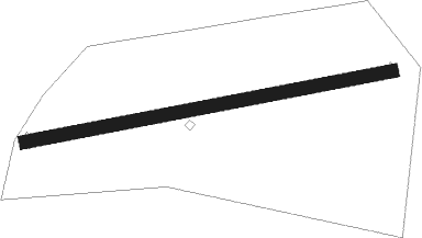
Runway info
| Runway 08 / 26 | ||
| length | 824m (2703ft) | |
| bearing | 85° / 265° | |
| width | 30m (100ft) | |
| surface | grass | |
Nearby beacons
| code | identifier | dist | bearing | frequency |
|---|---|---|---|---|
| PIH | POCATELLO VOR/DME | 32.9 | 121° | 112.60 |
| PI | TYHEE (POCATELLO) NDB | 34.9 | 109° | 383 |
| BYI | BURLEY VOR/DME | 47.3 | 225° | 114.10 |
Disclaimer
The information on this website is not for real aviation. Use this data with the X-Plane flight simulator only! Data taken with kind consent from X-Plane 12 source code and data files. Content is subject to change without notice.