Mountain Home - Mountain Home Muni
Airport details
| Country | United States of America |
| State | Idaho |
| Region | K1 |
| Airspace | Salt Lake City Ctr |
| Municipality | Mountain Home |
| Elevation | 3164ft (964m) |
| Timezone | GMT -7 |
| Coordinates | 43.13161, -115.73057 |
| Magnetic var | |
| Type | land |
| Available since | X-Plane v10.40 |
| ICAO code | U76 |
| IATA code | n/a |
| FAA code | n/a |
Communication
| Mountain Home Muni CTAF/UNICOM | 122.800 |
| Mountain Home Muni Approach/Departure | 124.800 |
| Mountain Home Muni Approach/Departure | 118.050 |
Nearby Points of Interest:
Mountain Home Carnegie Library
-Elmore County Courthouse
-Crater Rings
-Bruneau Episcopal Church
-Gorby Opera Theater
-Our Lady of Limerick Catholic Church
-Diversion Dam and Deer Flat Embankments
Runway info
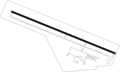
| Runway 10 / 28 | ||
| length | 1522m (4993ft) | |
| bearing | 110° / 290° | |
| width | 23m (75ft) | |
| surface | asphalt | |
Nearby beacons
| code | identifier | dist | bearing | frequency |
|---|---|---|---|---|
| MUO | MOUNTAIN HOME TACAN | 8.3 | 238° | 114 |
| LIA | LIBERATOR VOR | 9.1 | 196° | 114.90 |
| BOI | BOISE VORTAC | 32.3 | 312° | 113.30 |
Instrument approach procedures
| runway | airway (heading) | route (dist, bearing) |
|---|---|---|
| RW28 | ALKAL (286°) | ALKAL 8000ft |
| RNAV | ALKAL 8000ft CAVTA (10mi, 282°) 6000ft U76 (9mi, 290°) 3203ft (6514mi, 110°) 3900ft ATETY (6518mi, 291°) 8900ft ATETY (turn) |
Disclaimer
The information on this website is not for real aviation. Use this data with the X-Plane flight simulator only! Data taken with kind consent from X-Plane 12 source code and data files. Content is subject to change without notice.