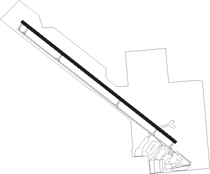
Spanish Fork - Spanish Fork Springville
Airport details
| Country | United States of America |
| State | Utah |
| Region | K2 |
| Airspace | Salt Lake City Ctr |
| Municipality | Spanish Fork |
| Elevation | 4528ft (1380m) |
| Timezone | GMT -7 |
| Coordinates | 40.14503, -111.66769 |
| Magnetic var | |
| Type | land |
| Available since | X-Plane v10.40 |
| ICAO code | U77 |
| IATA code | n/a |
| FAA code | KSPK |
Communication
| Spanish Fork Springville CTAF | 122.900 |
Nearby Points of Interest:
David H. Jones House
-Spanish Fork High School Gymnasium
-Wood-Harrison House
-William and Ann Bringhurst House
-Henry T. and Rebecca Reynolds House
-John Hafen House
-William H. and Sarah D. Meneray House
-T.R. Kelly House
-Yard-Groesbeck House
-Patrick L. and Rose O. Ward House
-Milan and Margaret Packard House
-Nephi and Annie Kindred House
-U.S. Post Office-Springville Main
-Springville Carnegie Library
-Roe A. and Louise R. Deal House
-Springville High School Mechanical Arts Building
-Frederick and Della Dunn House
-Springville Historic District
-Crandall Houses
-Dallin House
-Deal-Mendenhall Hall
-Mont and Harriet Johnson House
-Ami and Amanda Oakley House
-James P. and Lydia Strang House
-Roswell Darius Bird Sr. House
Nearby beacons
| code | identifier | dist | bearing | frequency |
|---|---|---|---|---|
| PVU | PROVO VOR/DME | 4.8 | 323° | 108.40 |
| FFU | FAIRFIELD (PROVO) VORTAC | 14.7 | 295° | 116.60 |
| TCH | WASATCH VORTAC | 44.7 | 336° | 116.80 |
| PUC | CARBON (PRICE) VOR/DME | 53.2 | 121° | 115.50 |
| HIF | HILL (OGDEN) TACAN | 60.1 | 343° | 111.20 |
| DTA | DELTA VORTAC | 63.7 | 225° | 116.10 |
Disclaimer
The information on this website is not for real aviation. Use this data with the X-Plane flight simulator only! Data taken with kind consent from X-Plane 12 source code and data files. Content is subject to change without notice.