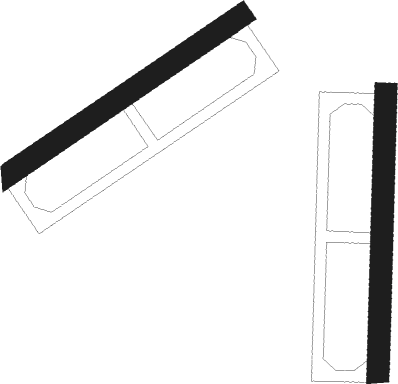
Yerevan - Yerevan Yegvard
Airport details
| Country | Armenia |
| State | Kotayk Province |
| Region | |
| Airspace | Yerevan Ctr |
| Municipality | Yeghvard region |
| Elevation | 4416ft (1346m) |
| Timezone | GMT +4 |
| Coordinates | 40.29630, 44.55612 |
| Magnetic var | |
| Type | land |
| Available since | X-Plane v10.40 |
| ICAO code | UD21 |
| IATA code | n/a |
| FAA code | n/a |
Communication
Nearby Points of Interest:
Surb Kiraki Church, Arzni
-Yeghvard Church
-Surb Stepanos Church of Abovyan
-Petevani khachkar-tomb
-Saint Hovhannes chapel of Avan, Yerevan
-Institute of Fine Organic Chemistry
-Aramus Tsiranavor church
-Bust of Raffi
-Lev Tolstoy's bust
-The statue of Tork Angegh
-The 50th Anniversary of the October Revolution Monument
-Anania Shirakatsi statue
-Yerevan Observatory
-Gevorg Grigoryan museum
-Monument of Hakob Meghapart
-House-Museum of Derenik Demirchyan
-Moskovyan Street 31
-Stepan Shahumyan's bust
-"Girl from Van" sculpture
-Arakel Afrikyan's house
-Great Bridge of Hrazdan
-Dalma garden canal, Yerevan
Nearby beacons
| code | identifier | dist | bearing | frequency |
|---|---|---|---|---|
| ER | EREBUNI (YEREVAN) NDB | 9.6 | 206° | 496 |
| Y | EREBUNI (YEREVAN) NDB | 12.4 | 209° | |
| YN | EREBUNI (YEREVAN) NDB | 13.2 | 209° | 580 |
| ZVR | ZVARTNOTS VOR/DME | 13.4 | 236° | 112.30 |
| FH | EREBUNI (YEREVAN) NDB | 16.2 | 216° | 465 |
| AND | ANDRANIK NDB | 34.4 | 137° | |
| GDR | IGDIR NDB | 36.3 | 244° | 388 |
| GM | SHIRAK (GYUMRI) NDB | 41.5 | 301° | 668 |
Disclaimer
The information on this website is not for real aviation. Use this data with the X-Plane flight simulator only! Data taken with kind consent from X-Plane 12 source code and data files. Content is subject to change without notice.

