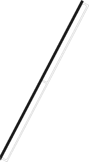
Yerevan - Erebuni
Airport details
| Country | Armenia |
| State | Yerevan (capital district) |
| Region | UD |
| Airspace | Yerevan Ctr |
| Municipality | Yerevan |
| Elevation | 2948ft (899m) |
| Timezone | GMT +4 |
| Coordinates | 40.12199, 44.46509 |
| Magnetic var | |
| Type | land |
| Available since | X-Plane v10.40 |
| ICAO code | UDYE |
| IATA code | n/a |
| FAA code | n/a |
Communication
| EREBUNI Tower | 119.400 |
Nearby Points of Interest:
Karmir Blur
-Bust of Vissarion Belinsky in Yerevan
-Saint Sargis church
-Vahagn choking the dragons statue
-Shushanik Kurghinyan's grave
-Red Bridge
-Bust of Vahan Teryan, Yerevan
-Armenian Genocide Memorial, Yerevan, Gajagortsneri St.
-Haghtanak bridge
-Statue The seller of water in Yerevan
-Hooshkaparik
-Vakhtang Ananyan's bust
-Yerevan Central Covered Market
-Aghasi Khanjyan mansion
-Yeghishe Charents bust
-Hripsime School for Girls
-Monument to Vardan Mamikonyan
-Karen Demirchyan Complex
-Yeghishe Charents House-Museum
-Royal Palace and the provincial treasury building
-Dalma garden canal, Yerevan
-Great Bridge of Hrazdan
-Anoush and Saro
-Arakel Afrikyan's house
-Stepan Shahumyan's bust
Nearby beacons
| code | identifier | dist | bearing | frequency |
|---|---|---|---|---|
| Y | EREBUNI (YEREVAN) NDB | 1.2 | 220° | |
| ER | EREBUNI (YEREVAN) NDB | 1.6 | 36° | 496 |
| YN | EREBUNI (YEREVAN) NDB | 2 | 219° | 580 |
| FH | EREBUNI (YEREVAN) NDB | 5.2 | 233° | 465 |
| ZVR | ZVARTNOTS VOR/DME | 6 | 281° | 112.30 |
| GDR | IGDIR NDB | 28 | 256° | 388 |
| AND | ANDRANIK NDB | 29.9 | 119° | |
| GM | SHIRAK (GYUMRI) NDB | 46.1 | 314° | 668 |
| MAK | MAKU VOR/DME | 60.2 | 153° | 112.40 |
| NAX | NAKHCHIVAN VOR/DME | 71.3 | 133° | 116.50 |
Departure and arrival routes
| Transition altitude | 11500ft |
| SID end points | distance | outbound heading | |
|---|---|---|---|
| RW21 | |||
| SEVA3S | 33mi | 50° | |
| GOSI3S | 26mi | 109° | |
| INDU3S | 37mi | 270° | |
| TIBL3S | 31mi | 295° | |
| STAR starting points | distance | inbound heading | |
|---|---|---|---|
| RW03 | |||
| INDU3A | 36.7 | 90° | |
| TIBL3A | 30.7 | 115° | |
| SEVA3A | 33.3 | 230° | |
| GOSI3A | 26.1 | 289° | |
Holding patterns
| STAR name | hold at | type | turn | heading* | altitude | leg | speed limit |
|---|---|---|---|---|---|---|---|
| GOSI3A | EREVA | VHF | left | 265 (85)° | > 7000ft | 1.0min timed | 215 |
| SEVA3A | EREVA | VHF | left | 265 (85)° | > 7000ft | 1.0min timed | 215 |
| *) magnetic outbound (inbound) holding course | |||||||
Disclaimer
The information on this website is not for real aviation. Use this data with the X-Plane flight simulator only! Data taken with kind consent from X-Plane 12 source code and data files. Content is subject to change without notice.
