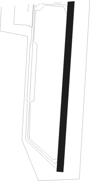
Tiksi
Airport details
| Country | Russian Federation |
| State | Sakha Republic |
| Region | UE |
| Airspace | Yakutsk Ctr |
| Municipality | Tiksi |
| Elevation | 24ft (7m) |
| Timezone | GMT +9 |
| Coordinates | 71.69901, 128.89023 |
| Magnetic var | |
| Type | land |
| Available since | X-Plane v10.40 |
| ICAO code | UEST |
| IATA code | IKS |
| FAA code | n/a |
Communication
| Tiksi ATIS | 127.800 |
| Tiksi Otvesniy Posadka | 124.000 |
| Tiksi Otvesniy Podhod | 128.500 |
| Tiksi Otvesniy Krug | 124.000 |
Nearby beacons
| code | identifier | dist | bearing | frequency |
|---|---|---|---|---|
| K | TIKSI NDB | 1.1 | 50° | 660 |
| F | TIKSI NDB | 1.3 | 176° | 660 |
| KF | TIKSI NDB | 2.6 | 36° | 320 |
Departure and arrival routes
| Transition altitude | 3640ft |
| SID end points | distance | outbound heading | |
|---|---|---|---|
| RW03 | |||
| ULTAK1 | 139mi | 92° | |
| OBULA1 | 161mi | 122° | |
| BASMI1 | 146mi | 177° | |
| KUSAB1 | 38mi | 194° | |
| AGBES1 | 67mi | 236° | |
| KOTUR1 | 101mi | 272° | |
| ADALI1 | 37mi | 278° | |
| RW21 | |||
| ULTAK3 | 139mi | 92° | |
| OBULA3 | 161mi | 122° | |
| BASMI3 | 146mi | 177° | |
| KUSAB3 | 38mi | 194° | |
| AGBES3 | 67mi | 236° | |
| STAR starting points | distance | inbound heading | |
|---|---|---|---|
| RW03 | |||
| KUSAB2 | 37.8 | 14° | |
| AGBES2 | 66.8 | 56° | |
| KOTUR2 | 100.5 | 92° | |
| ULTAK2 | 138.5 | 272° | |
| AMLER2 | 167.8 | 284° | |
| OBULA2 | 45.1 | 296° | |
| BASMI2 | 145.9 | 357° | |
| RW21 | |||
| KUSAB4 | 37.8 | 14° | |
| AGBES4 | 66.8 | 56° | |
| KOTUR4 | 100.5 | 92° | |
| ULTAK4 | 138.5 | 272° | |
| AMLER4 | 167.8 | 284° | |
| OBULA4 | 45.1 | 296° | |
| BASMI4 | 145.9 | 357° | |
Disclaimer
The information on this website is not for real aviation. Use this data with the X-Plane flight simulator only! Data taken with kind consent from X-Plane 12 source code and data files. Content is subject to change without notice.
