Mestia - Mestia Queen Tamar
Airport details
| Country | Georgia |
| State | Samegrelo-Upper Svaneti |
| Region | UG |
| Airspace | Tbilisi Ctr |
| Municipality | Mestia |
| Elevation | 4773ft (1455m) |
| Timezone | GMT +5 |
| Coordinates | 43.05824, 42.75172 |
| Magnetic var | |
| Type | land |
| Available since | X-Plane v11.51r1 |
| ICAO code | UGMS |
| IATA code | n/a |
| FAA code | n/a |
Communication
Nearby Points of Interest:
Lashtkhveri church
-Nakipari church
-Ienashi church
-Matskhvarishi church of the Savior
-Lagurka
-Upper Svaneti
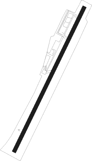
Runway info
| Runway 02 / 20 | ||
| length | 1218m (3996ft) | |
| bearing | 39° / 219° | |
| width | 30m (98ft) | |
| surface | concrete | |
| displ threshold | 50m (164ft) / 271m (889ft) | |
Nearby beacons
| code | identifier | dist | bearing | frequency |
|---|---|---|---|---|
| N | NALCHIK NDB | 48.4 | 63° | 350 |
| NF | NALCHIK NDB | 50 | 63° | 718 |
| UY | KUTAISI NDB | 53.2 | 193° | 842 |
| KTS | KUTAISI VOR/DME | 54.2 | 197° | 113.60 |
| BT | ALI NDB | 70.4 | 137° | 353 |
Disclaimer
The information on this website is not for real aviation. Use this data with the X-Plane flight simulator only! Data taken with kind consent from X-Plane 12 source code and data files. Content is subject to change without notice.