Chumikan
Airport details
| Country | Russian Federation |
| State | Khabarovsk Krai |
| Region | UH |
| Airspace | Khabarovsk Ctr |
| Municipality | сельское поселение Село Чумикан |
| Elevation | 28ft (9m) |
| Timezone | GMT +10 |
| Coordinates | 54.69695, 135.28667 |
| Magnetic var | |
| Type | land |
| Available since | X-Plane v11.50 |
| ICAO code | UHHY |
| IATA code | n/a |
| FAA code | n/a |
Communication
| Chumikan Tower | 128.000 |
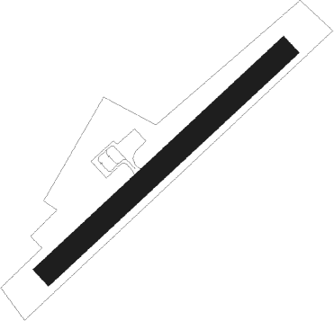
Runway info
| Runway 06 / 24 | ||
| length | 851m (2792ft) | |
| bearing | 65° / 245° | |
| width | 60m (197ft) | |
| surface | asphalt | |
Nearby beacons
| code | identifier | dist | bearing | frequency |
|---|---|---|---|---|
| PA | CHUMIKAN NDB | 0.1 | 288° | 890 |
Disclaimer
The information on this website is not for real aviation. Use this data with the X-Plane flight simulator only! Data taken with kind consent from X-Plane 12 source code and data files. Content is subject to change without notice.