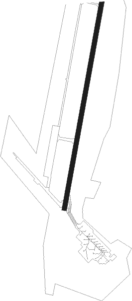
Anadyr - Ugolny
Airport details
| Country | Russian Federation |
| State | Chukotka Autonomous Okrug |
| Region | UH |
| Municipality | городское поселение Угольные Копи |
| Elevation | 190ft (58m) |
| Timezone | GMT +12 |
| Coordinates | 64.73500, 177.73833 |
| Magnetic var | |
| Type | land |
| Available since | X-Plane v10.40 |
| ICAO code | UHMA |
| IATA code | DYR |
| FAA code | n/a |
Communication
| Ugolny ATIS | 125.400 |
| Ugolny ANADYR Tower | 124.000 |
| Ugolny ANADYR Approach | 124.000 |
Approach frequencies
| ILS-cat-I | RW01 | 110.3 | 18.00mi |
| ILS-cat-I | RW19 | 110.7 | 18.00mi |
| 3° GS | RW01 | 110.3 | 18.00mi |
| 3° GS | RW19 | 110.7 | 18.00mi |
Nearby beacons
| code | identifier | dist | bearing | frequency |
|---|---|---|---|---|
| K | UGOLNY (ANADYR) NDB | 1.5 | 205° | 389 |
| U | UGOLNY (ANADYR) NDB | 1.5 | 36° | 389 |
| KB | ANADYR NDB | 2.7 | 212° | 790 |
| UX | ANADYR NDB | 3.1 | 32° | 790 |
Departure and arrival routes
| Transition altitude | 5443ft |
| SID end points | distance | outbound heading | |
|---|---|---|---|
| RW01 | |||
| NIDAR1 | 141mi | 32° | |
| BUMUL1 | 55mi | 91° | |
| DUKAR1 | 51mi | 93° | |
| BE1 | 110mi | 137° | |
| TIVLA1 | 133mi | 253° | |
| PODIK1 | 48mi | 266° | |
| BETAM1 | 131mi | 270° | |
| OGETO1 | 101mi | 288° | |
| UTILI1 | 80mi | 311° | |
| RW19 | |||
| NIDAR3 | 141mi | 32° | |
| BUMUL3 | 55mi | 91° | |
| DUKAR3 | 51mi | 93° | |
| BE3 | 110mi | 137° | |
| TIVLA3 | 133mi | 253° | |
| PODIK3 | 48mi | 266° | |
| BETAM3 | 131mi | 270° | |
| OGETO3 | 101mi | 288° | |
| UTILI3 | 80mi | 311° | |
| STAR starting points | distance | inbound heading | |
|---|---|---|---|
| RW01 | |||
| TIVLA2 | 37.6 | 74° | |
| BETAM2 | 37.6 | 91° | |
| OGETO2 | 100.7 | 108° | |
| UTILI2 | 80.4 | 131° | |
| NIDAR2 | 140.9 | 212° | |
| NB2 | 37.6 | 255° | |
| BUMUL2 | 37.6 | 271° | |
| DUKAR2 | 37.6 | 273° | |
| BE2 | 109.9 | 317° | |
| RW19 | |||
| TIVLA4 | 37.6 | 74° | |
| BETAM4 | 37.6 | 91° | |
| OGETO4 | 100.7 | 108° | |
| UTILI4 | 80.4 | 131° | |
| NIDAR4 | 140.9 | 212° | |
| NB4 | 37.6 | 255° | |
| BUMUL4 | 37.6 | 271° | |
| DUKAR4 | 37.6 | 273° | |
| BE4 | 109.9 | 317° | |
Holding patterns
| STAR name | hold at | type | turn | heading* | altitude | leg | speed limit |
|---|---|---|---|---|---|---|---|
| AS2 | KB | FIX | left | 192 (12)° | 2.0min timed | ICAO rules | |
| BE4 | UX | FIX | right | 12 (192)° | 2.0min timed | ICAO rules | |
| BUMUL4 | UX | FIX | right | 12 (192)° | 2.0min timed | ICAO rules | |
| DUKAR4 | UX | FIX | right | 12 (192)° | 2.0min timed | ICAO rules | |
| NB2 | KB | FIX | left | 192 (12)° | 2.0min timed | ICAO rules | |
| NIDAR2 | KB | FIX | left | 192 (12)° | 2.0min timed | ICAO rules | |
| *) magnetic outbound (inbound) holding course | |||||||
Disclaimer
The information on this website is not for real aviation. Use this data with the X-Plane flight simulator only! Data taken with kind consent from X-Plane 12 source code and data files. Content is subject to change without notice.