Tilichiki
Airport details
| Country | Russian Federation |
| State | Kamchatka Krai |
| Region | UH |
| Municipality | Olyutorsky District |
| Elevation | 3ft (1m) |
| Timezone | GMT +12 |
| Coordinates | 60.38528, 166.02556 |
| Magnetic var | |
| Type | land |
| Available since | X-Plane v10.40 |
| ICAO code | UHPT |
| IATA code | n/a |
| FAA code | n/a |
Communication
| Tilichiki Tower | 128.000 |
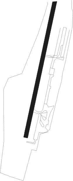
Runway info
| Runway 02 / 20 | ||
| length | 1497m (4911ft) | |
| bearing | 31° / 211° | |
| width | 35m (115ft) | |
| surface | gravel | |
Nearby beacons
| code | identifier | dist | bearing | frequency |
|---|---|---|---|---|
| TK | TILICHIKI NDB | 1.2 | 213° | 820 |
Disclaimer
The information on this website is not for real aviation. Use this data with the X-Plane flight simulator only! Data taken with kind consent from X-Plane 12 source code and data files. Content is subject to change without notice.