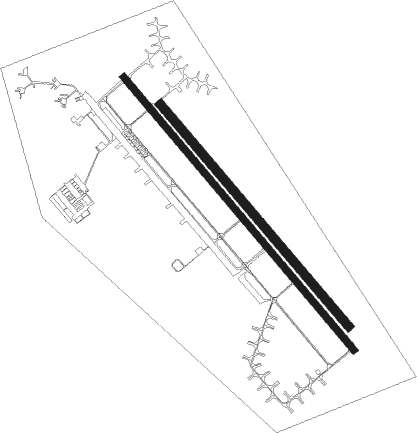
Usolye-sibirskoye - Belaya
Airport details
| Country | Russian Federation |
| State | Irkutsk Oblast |
| Region | |
| Airspace | Irkutsk Ctr |
| Municipality | Среднинское городское поселение |
| Elevation | 1499ft (457m) |
| Timezone | GMT +8 |
| Coordinates | 52.92984, 103.55798 |
| Magnetic var | |
| Type | land |
| Available since | X-Plane v10.40 |
| ICAO code | UIIB |
| IATA code | n/a |
| FAA code | n/a |
Communication
| Belaya Dnepr Krug | 124.000 |
| Belaya Dnepr Podhod | 128.500 |
Nearby Points of Interest:
Mal'ta–Buret' culture

Nearby beacons
| code | identifier | dist | bearing | frequency |
|---|---|---|---|---|
| CS | OSA NDB | 29.4 | 35° | 420 |
| OSA | DME | 29.4 | 35° | 113.70 |
| BD | RAZDOLYE NDB | 32.1 | 217° | 635 |
| RZD | DME | 32.1 | 217° | 114 |
| NH | NIKOLSK NDB | 34.3 | 101° | 699 |
| NKL | DME | 34.3 | 101° | 114.30 |
| CN | IRKUTSK NDB | 47.7 | 130° | 514 |
| C | IRKUTSK NDB | 49 | 129° | 545 |
| I | IRKUTSK NDB | 51.2 | 128° | 545 |
| IKT | IRKUTSK VOR/DME | 51.3 | 128° | 113 |
| IR | IRKUTSK NDB | 52.7 | 127° | 514 |
Disclaimer
The information on this website is not for real aviation. Use this data with the X-Plane flight simulator only! Data taken with kind consent from X-Plane 12 source code and data files. Content is subject to change without notice.