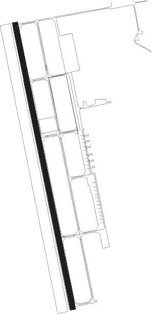
Chuhuiv
Airport details
| Country | Ukraine |
| State | Kharkiv Oblast |
| Region | |
| Airspace | Dnipro Ctr |
| Municipality | Новопокровська селищна громада |
| Elevation | 453ft (138m) |
| Timezone | GMT +2 |
| Coordinates | 49.83786, 36.64743 |
| Magnetic var | |
| Type | land |
| Available since | X-Plane v11.05 |
| ICAO code | UKHW |
| IATA code | n/a |
| FAA code | n/a |
Communication
| CHUHUIV ROGACH Ground Control | 120.000 |
| CHUHUIV ROGACH START | 124.000 |
| CHUHUIV ROGACH APR | 128.500 |
Nearby Points of Interest:
Bust of Pushkin in Kharkiv
-Fire station №3 in Kharkiv
-Derzhprom
Nearby beacons
| code | identifier | dist | bearing | frequency |
|---|---|---|---|---|
| KHR | KHARKIV VOR/DME | 14.8 | 284° | 116.50 |
| BX | BELGOROD NDB | 47.1 | 1° | 718 |
| B | BELGOROD NDB | 47.8 | 358° | 350 |
| BL | BELGOROD VOR/DME | 48 | 357° | 110 |
| A | BELGOROD NDB | 49 | 354° | 350 |
Disclaimer
The information on this website is not for real aviation. Use this data with the X-Plane flight simulator only! Data taken with kind consent from X-Plane 12 source code and data files. Content is subject to change without notice.