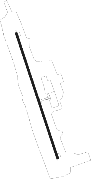
Airports for X-Plane offers a convenient way to explore airports and their related communication information for the X-Plane flight simulator. It only uses data from the X-Plane flight simulator itself, and is therefore more reliable than the data that comes from real aviation websites. You can search for airports by using the ICAO code, or browse for airports per country and state. The information displayed is categorized by airport details, runway information, airport communication, approach frequencies (ILS and Glidepath details), details of nearby beacons, SIDs, STARs and approach procedures.

arrival city takeoff immigration government military airspeed drome runway lighting air safety stolport passengers passenger airport apron hangar tarmac hotel gravel airstrip faa

Khmelnytskyi

Airport details

CountryUkraine
StateKhmelnytskyi Oblast
RegionUK
AirspaceLviv Ctr
MunicipalityRozsosha Rural Hromada
Elevation1150ft (351m)
TimezoneGMT +2
Coordinates49.35940, 26.93336
Magnetic var
Typeland
Available sinceX-Plane v10.40
ICAO codeUKLH
IATA codeHMJ
FAA coden/a

Communication

Khmelnytskyi Khmelnytskyi Information118.200
Nearby Points of Interest:

Runway info

Runway 16 / 34
 length2200m (7218ft)
 bearing159° / 339°
 width42m (138ft)
 surfaceconcrete

Airport layout


Taxiway locations
Parking locations

Disclaimer

The information on this website is not for real aviation. Use this data with the X-Plane flight simulator only! Data taken with kind consent from X-Plane 12 source code and data files. Content is subject to change without notice.