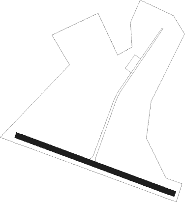
Belozersk
Airport details
| Country | Russian Federation |
| State | Vologda Oblast |
| Region | UL |
| Airspace | Vologda Ctr |
| Municipality | Куностьское сельское поселение |
| Elevation | 425ft (130m) |
| Timezone | GMT +3 |
| Coordinates | 60.01389, 37.76111 |
| Magnetic var | |
| Type | land |
| Available since | X-Plane v10.40 |
| ICAO code | ULWB |
| IATA code | n/a |
| FAA code | n/a |
Communication
Nearby Points of Interest:
Church of the Nativity in Krokhino
Nearby beacons
| code | identifier | dist | bearing | frequency |
|---|---|---|---|---|
| BLZ | BELOZERSK VOR/DME | 0.2 | 300° | 110.40 |
| FP | CHEREPOVETS NDB | 43.3 | 156° | 405 |
| F | CHEREPOVETS NDB | 44.2 | 159° | 825 |
| O | CHEREPOVETS NDB | 45.7 | 163° | 825 |
| OW | CHEREPOVETS NDB | 46.6 | 165° | 405 |
Disclaimer
The information on this website is not for real aviation. Use this data with the X-Plane flight simulator only! Data taken with kind consent from X-Plane 12 source code and data files. Content is subject to change without notice.