Babruisk - Bobrujsk
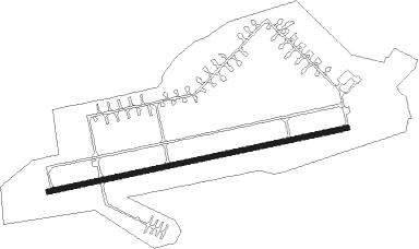
Airport details
| Country | Belarus |
| State | Mahilyow Region |
| Region | |
| Airspace | Minsk Ctr |
| Municipality | Слабодкаўскі сельскі Савет |
| Elevation | 500ft (152m) |
| Timezone | GMT +3 |
| Coordinates | 53.09991, 29.18154 |
| Magnetic var | |
| Type | land |
| Available since | X-Plane v10.40 |
| ICAO code | UMNB |
| IATA code | n/a |
| FAA code | n/a |
Communication
Nearby Points of Interest:
Savieckaja Street 77, Babrujsk
-Katsnelson House, Babruysk
-Category:Pushkin Street 211, Babruysk
-Babruysk fortress
-Church of Saints Kosma and Damian in Haradok
-Svislač Castle
-Hlusk castle
-Kozieł-Pakleŭski manor in Krasny Bierah
Nearby beacons
| code | identifier | dist | bearing | frequency |
|---|---|---|---|---|
| RVS | SLABADA DME | 53.4 | 323° | 113.35 |
| C | MAHILIOU NDB | 60.5 | 48° | 985 |
| MGL | MAHILIOU VOR/DME | 60.7 | 47° | 116.75 |
| U | MAHILIOU NDB | 61.1 | 45° | 985 |
Disclaimer
The information on this website is not for real aviation. Use this data with the X-Plane flight simulator only! Data taken with kind consent from X-Plane 12 source code and data files. Content is subject to change without notice.