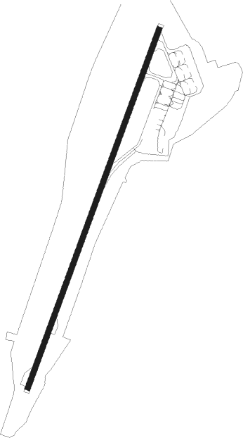
Abakan
Airport details
| Country | Russian Federation |
| State | Republic of Khakassia |
| Region | UN |
| Airspace | Krasnoyarsk Ctr |
| Municipality | Abakan |
| Elevation | 831ft (253m) |
| Timezone | GMT +7 |
| Coordinates | 53.74443, 91.39149 |
| Magnetic var | |
| Type | land |
| Available since | X-Plane v10.30 |
| ICAO code | UNAA |
| IATA code | ABA |
| FAA code | n/a |
Communication
| Abakan ABAKAN ATIS | 126.200 |
| Abakan ABAKAN START | 122.000 |
| Abakan ABAKAN Ground Control | 129.000 |
| Abakan ABAKAN Tower | 134.300 |
| Abakan ABAKAN Radar | 134.300 |
Approach frequencies
| ILS-cat-I | RW02 | 110.3 | 18.00mi |
| ILS-cat-I | RW20 | 109.9 | 18.00mi |
| 3.1° GS | RW20 | 109.9 | 18.00mi |
| 2.6° GS | RW02 | 110.3 | 18.00mi |
Nearby Points of Interest:
Oglakhty
Nearby beacons
| code | identifier | dist | bearing | frequency |
|---|---|---|---|---|
| ABK | DME | 0.2 | 272° | 113.30 |
| A | ABAKAN NDB | 1.4 | 223° | 733 |
| AB | ABAKAN NDB | 2.8 | 220° | 360 |
Departure and arrival routes
| Transition altitude | 5423ft |
| SID end points | distance | outbound heading | |
|---|---|---|---|
| RW02 | |||
| ST1 | 27mi | 8° | |
| AD1 | 11mi | 84° | |
| IN1 | 21mi | 119° | |
| NR1 | 27mi | 180° | |
| NB1 | 27mi | 259° | |
| KR1 | 27mi | 272° | |
| DR1 | 27mi | 286° | |
| LG1 | 27mi | 309° | |
| RW20 | |||
| ST3 | 27mi | 8° | |
| AD3 | 11mi | 84° | |
| IN3 | 21mi | 119° | |
| NR3 | 27mi | 180° | |
| NB3 | 27mi | 259° | |
| KR3 | 27mi | 272° | |
| DR3 | 27mi | 286° | |
| LG3 | 27mi | 309° | |
| STAR starting points | distance | inbound heading | |
|---|---|---|---|
| RW02 | |||
| NR2 | 27.2 | 0° | |
| NB2 | 27.1 | 79° | |
| KR2 | 27.1 | 92° | |
| DR2 | 27.0 | 106° | |
| LG2 | 26.9 | 129° | |
| MK2 | 47.7 | 224° | |
| RW20 | |||
| NR4 | 27.2 | 0° | |
| NB4 | 27.1 | 79° | |
| KR4 | 27.1 | 92° | |
| DR4 | 27.0 | 106° | |
| LG4 | 26.9 | 129° | |
Holding patterns
| STAR name | hold at | type | turn | heading* | altitude | leg | speed limit |
|---|---|---|---|---|---|---|---|
| IN2 | INBER | VHF | left | 129 (309)° | 1.0min timed | ICAO rules | |
| IN4A | INBER | VHF | left | 129 (309)° | 1.0min timed | ICAO rules | |
| IN4B | INBER | VHF | left | 129 (309)° | 1.0min timed | ICAO rules | |
| KR2 | KERAL | VHF | left | 268 (88)° | 1.0min timed | ICAO rules | |
| KR4 | KERAL | VHF | left | 268 (88)° | 1.0min timed | ICAO rules | |
| RN2 | RINAG | VHF | left | 26 (206)° | 1.0min timed | ICAO rules | |
| RN4 | RINAG | VHF | left | 26 (206)° | 1.0min timed | ICAO rules | |
| *) magnetic outbound (inbound) holding course | |||||||
Disclaimer
The information on this website is not for real aviation. Use this data with the X-Plane flight simulator only! Data taken with kind consent from X-Plane 12 source code and data files. Content is subject to change without notice.