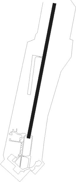
Novosibirsk - Novosibirsk Yeltsovka
Airport details
| Country | Russian Federation |
| State | Novosibirsk Oblast |
| Region | UN |
| Airspace | Novosibirsk Ctr |
| Municipality | Novosibirsk |
| Elevation | 651ft (198m) |
| Timezone | GMT +7 |
| Coordinates | 55.09167, 83.00389 |
| Magnetic var | |
| Type | land |
| Available since | X-Plane v10.40 |
| ICAO code | UNNE |
| IATA code | n/a |
| FAA code | n/a |
Communication
| Novosibirsk Yeltsovka Sernistyi Transit | 122.650 |
| Novosibirsk Yeltsovka Sernistyi Tower | 124.750 |
Nearby beacons
| code | identifier | dist | bearing | frequency |
|---|---|---|---|---|
| KT | TOLMACHEVO (NOVOSIBIRSK) NDB | 9.9 | 255° | 310 |
| EB | MATVEYEVSKIY NDB | 10.2 | 154° | 816 |
| K | TOLMACHEVO (NOVOSIBIRSK) NDB | 11.5 | 256° | 620 |
| NSK | NOVOSIBIRSK VOR/DME | 13.3 | 258° | 113.30 |
| S | TOLMACHEVO (NOVOSIBIRSK) NDB | 14.3 | 265° | 722 |
| SV | TOLMACHEVO (NOVOSIBIRSK) NDB | 14.4 | 269° | 520 |
| G | TOLMACHEVO (NOVOSIBIRSK) NDB | 14.5 | 258° | 700 |
| R | TOLMACHEVO (NOVOSIBIRSK) NDB | 14.5 | 258° | 597 |
| GH | TOLMACHEVO (NOVOSIBIRSK) NDB | 14.9 | 254° | 875 |
| RO | TOLMACHEVO (NOVOSIBIRSK) NDB | 16.1 | 259° | 860 |
| GV | KOLYVAN NDB | 17.2 | 307° | 660 |
| KD | NOVOTYRYSHKINO NDB | 23.4 | 288° | 715 |
| NR | NOVOLOKTI NDB | 42.3 | 186° | 750 |
Disclaimer
The information on this website is not for real aviation. Use this data with the X-Plane flight simulator only! Data taken with kind consent from X-Plane 12 source code and data files. Content is subject to change without notice.
