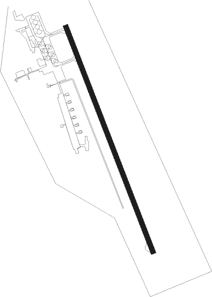
Strezhevoy
Airport details
| Country | Russian Federation |
| State | Tomsk Oblast |
| Region | UN |
| Airspace | Novosibirsk Ctr |
| Municipality | Strezhevoi |
| Elevation | 165ft (50m) |
| Timezone | GMT +7 |
| Coordinates | 60.71046, 77.65593 |
| Magnetic var | |
| Type | land |
| Available since | X-Plane v10.40 |
| ICAO code | UNSS |
| IATA code | SWT |
| FAA code | n/a |
Communication
| Strezhevoy ATCFreq | 120.700 |
Approach frequencies
| ILS-cat-I | RW15 | 108.3 | 18.00mi |
| 2.6° GS | RW15 | 108.3 | 18.00mi |
Nearby beacons
| code | identifier | dist | bearing | frequency |
|---|---|---|---|---|
| M | STREZHEVOY NDB | 0.9 | 340° | 318 |
| MP | STREZHEVOY NDB | 2.6 | 332° | 655 |
Departure and arrival routes
| Transition altitude | 1804ft |
| Transition level | 3000ft |
| SID end points | distance | outbound heading | |
|---|---|---|---|
| RW15 | |||
| MG15U | 121mi | 113° | |
| LL15U | 136mi | 128° | |
| MN15U | 76mi | 209° | |
| UO15U | 56mi | 262° | |
| PR15U | 20mi | 281° | |
| BN15U | 13mi | 348° | |
| RW33 | |||
| MG33U | 121mi | 113° | |
| LL33U | 136mi | 128° | |
| MN33U | 76mi | 209° | |
| UO33U | 56mi | 262° | |
| PR33U | 20mi | 281° | |
| BN33U | 13mi | 348° | |
| STAR starting points | distance | inbound heading | |
|---|---|---|---|
| RW15 | |||
| MN15A | 76.4 | 29° | |
| PR15A, PR15C | 19.6 | 101° | |
| BN15A, BN15C | 13.1 | 168° | |
| MG15A | 121.0 | 293° | |
| LL15A | 135.9 | 308° | |
| RW33 | |||
| MN33C, MN33A | 76.4 | 29° | |
| PR33A | 19.6 | 101° | |
| BN33C, BN33A | 13.1 | 168° | |
| MG33A, MG33C | 121.0 | 293° | |
| LL33A, LL33C | 135.9 | 308° | |
Disclaimer
The information on this website is not for real aviation. Use this data with the X-Plane flight simulator only! Data taken with kind consent from X-Plane 12 source code and data files. Content is subject to change without notice.