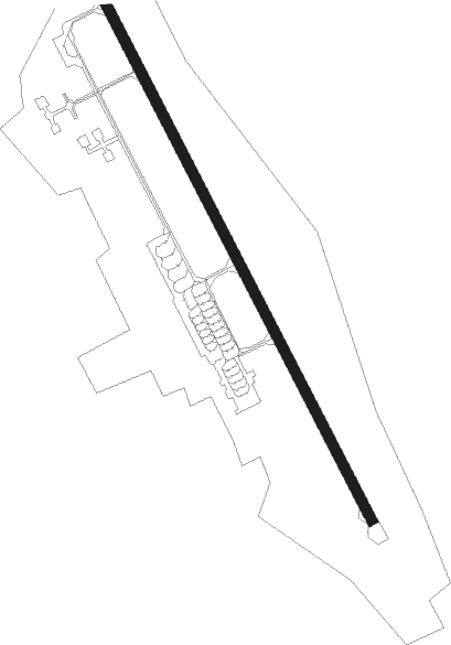
Nadym
Airport details
| Country | Russian Federation |
| State | Yamalo-Nenets Autonomous Okrug |
| Region | US |
| Airspace | Tyumen Ctr |
| Municipality | Nadymsky Rayon |
| Elevation | 48ft (15m) |
| Timezone | GMT +5 |
| Coordinates | 65.48779, 72.68467 |
| Magnetic var | |
| Type | land |
| Available since | X-Plane v10.40 |
| ICAO code | USMM |
| IATA code | NYM |
| FAA code | n/a |
Communication
| Nadym ATIS | 125.900 |
| Nadym Start | 120.600 |
Approach frequencies
| ILS-cat-II | RW14 | 110.5 | 18.00mi |
| ILS-cat-II | RW32 | 110.3 | 18.00mi |
| 2.6° GS | RW14 | 110.5 | 18.00mi |
| 2.6° GS | RW32 | 110.3 | 18.00mi |
Nearby beacons
| code | identifier | dist | bearing | frequency |
|---|---|---|---|---|
| NDM | NADYM VOR/DME | 0.7 | 109° | 110.80 |
| NO | NADYM NDB | 2.3 | 322° | 485 |
| PZ | NADYM NDB | 3.2 | 130° | 485 |
Departure and arrival routes
| Transition altitude | 2018ft |
| Transition level | 4000ft |
| SID end points | distance | outbound heading | |
|---|---|---|---|
| RW14 | |||
| RAKOT1 | 27mi | 11° | |
| OKLIN1 | 30mi | 70° | |
| GISOM1 | 26mi | 79° | |
| BANIL1 | 27mi | 96° | |
| NESAT1 | 27mi | 129° | |
| DIGLU1 | 31mi | 167° | |
| DITUL1 | 27mi | 249° | |
| OGLES1 | 26mi | 275° | |
| MONIB1 | 26mi | 299° | |
| RW32 | |||
| RAKOT3 | 27mi | 11° | |
| OKLIN3 | 30mi | 70° | |
| GISOM3 | 26mi | 79° | |
| BANIL3 | 27mi | 96° | |
| NESAT3 | 27mi | 129° | |
| DIGLU3 | 31mi | 167° | |
| DITUL3 | 27mi | 249° | |
| OGLES3 | 26mi | 275° | |
| MONIB3 | 26mi | 299° | |
| STAR starting points | distance | inbound heading | |
|---|---|---|---|
| RW14 | |||
| RIKBI2 | 27.0 | 54° | |
| DITUL2 | 26.8 | 69° | |
| OGLES2 | 26.4 | 95° | |
| MONIB2 | 26.3 | 119° | |
| OKLIN2 | 29.9 | 250° | |
| GISOM2 | 26.4 | 259° | |
| BANIL2 | 27.3 | 276° | |
| RW32 | |||
| RIKBI4 | 27.0 | 54° | |
| DITUL4 | 26.8 | 69° | |
| OGLES4 | 26.4 | 95° | |
| MONIB4 | 26.3 | 119° | |
| OKLIN4 | 29.9 | 250° | |
| GISOM4 | 26.4 | 259° | |
| BANIL4 | 27.3 | 276° | |
Holding patterns
| STAR name | hold at | type | turn | heading* | altitude | leg | speed limit |
|---|---|---|---|---|---|---|---|
| DIGLU2 | NO | NDB | right | 217 (37)° | > 2960ft | 1.0min timed | ICAO rules |
| NESAT2 | NO | NDB | right | 217 (37)° | > 2960ft | 1.0min timed | ICAO rules |
| *) magnetic outbound (inbound) holding course | |||||||
Disclaimer
The information on this website is not for real aviation. Use this data with the X-Plane flight simulator only! Data taken with kind consent from X-Plane 12 source code and data files. Content is subject to change without notice.