Muynak
Airport details
| Country | Uzbekistan |
| State | Republic of Karakalpakstan |
| Region | |
| Municipality | Muynoq district |
| Elevation | 175ft (53m) |
| Timezone | GMT +5 |
| Coordinates | 43.75066, 59.02514 |
| Magnetic var | |
| Type | land |
| Available since | X-Plane v10.40 |
| ICAO code | UT1R |
| IATA code | n/a |
| FAA code | n/a |
Communication
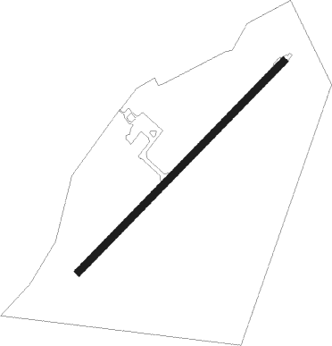
Runway info
| Runway 04 / 22 | ||
| length | 1503m (4931ft) | |
| bearing | 58° / 238° | |
| width | 36m (119ft) | |
| surface | asphalt | |
Nearby beacons
| code | identifier | dist | bearing | frequency |
|---|---|---|---|---|
| MNK | MUYNAK VOR/DME | 0.2 | 50° | 116.50 |
Disclaimer
The information on this website is not for real aviation. Use this data with the X-Plane flight simulator only! Data taken with kind consent from X-Plane 12 source code and data files. Content is subject to change without notice.