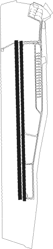
Fergana
Airport details
| Country | Uzbekistan |
| State | Fergana Region |
| Region | UT |
| Municipality | Farghona Tumani |
| Elevation | 1979ft (603m) |
| Timezone | GMT +5 |
| Coordinates | 40.37032, 71.74145 |
| Magnetic var | |
| Type | land |
| Available since | X-Plane v10.40 |
| ICAO code | UT1S |
| IATA code | FEG |
| FAA code | n/a |
Communication
| Fergana Tower | 129.500 |

Nearby beacons
| code | identifier | dist | bearing | frequency |
|---|---|---|---|---|
| Z | FERGANA NDB | 0.6 | 27° | 303 |
| ZU | FERGANA NDB | 2.5 | 10° | 625 |
| AN | ANDIZHAN NDB | 30.1 | 57° | 422 |
| A | ANDIZHAN NDB | 31.7 | 57° | 860 |
| SA | NAMANGAN NDB | 36.3 | 349° | 329 |
| S | NAMANGAN NDB | 36.9 | 346° | 676 |
| NMA | NAMANGAN VOR/DME | 37.6 | 344° | 116 |
Disclaimer
The information on this website is not for real aviation. Use this data with the X-Plane flight simulator only! Data taken with kind consent from X-Plane 12 source code and data files. Content is subject to change without notice.