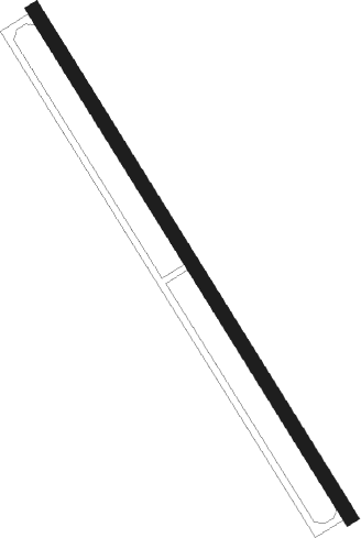
Moab - Sariasiya
Airport details
| Country | Uzbekistan |
| State | Surxondaryo Region |
| Region | |
| Airspace | Samarkand Ctr |
| Municipality | Sariosiyo District |
| Elevation | 1949ft (594m) |
| Timezone | GMT +5 |
| Coordinates | 38.41665, 67.94112 |
| Magnetic var | |
| Type | land |
| Available since | X-Plane v10.40 |
| ICAO code | UT72 |
| IATA code | n/a |
| FAA code | UT72 |
Communication
Nearby beacons
| code | identifier | dist | bearing | frequency |
|---|---|---|---|---|
| PR | OKTYABRSKIY NDB | 22.5 | 75° | 310 |
| FN | DUSHANBE NDB | 39 | 81° | 372 |
| F | DUSHANBE NDB | 40.9 | 82° | 732 |
| DBE | DME | 42 | 82° | 114.20 |
| W | DUSHANBE NDB | 43.5 | 82° | 732 |
| WG | DUSHANBE NDB | 45.1 | 82° | 372 |
| SX | PUGUS NDB | 49.6 | 65° | 505 |
| KTB | DME | 54.8 | 121° | 114.50 |
| N | BOKHTAR NDB | 55.4 | 121° | 752 |
| NH | BOKHTAR NDB | 56.7 | 123° | 420 |
| HA | SHERABAD NDB | 60.4 | 231° | 340 |
Disclaimer
The information on this website is not for real aviation. Use this data with the X-Plane flight simulator only! Data taken with kind consent from X-Plane 12 source code and data files. Content is subject to change without notice.