Qarshi - Karshi
Airport details
| Country | Uzbekistan |
| State | Qashqadaryo Region |
| Region | UT |
| Airspace | Samarkand Ctr |
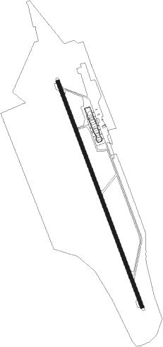
| Municipality | Qarshi |
| Elevation | 1229ft (375m) |
| Timezone | GMT +5 |
| Coordinates | 38.80333, 65.77333 |
| Magnetic var | |
| Type | land |
| Available since | X-Plane v10.40 |
| ICAO code | UTSK |
| IATA code | n/a |
| FAA code | n/a |
Communication
| Karshi Karshi Tower | 124.400 |
Approach frequencies
| ILS-cat-I | RW16 | 109.1 | 18.00mi |
| 3° GS | RW16 | 109.1 | 18.00mi |
Nearby beacons
| code | identifier | dist | bearing | frequency |
|---|---|---|---|---|
| J | KARSHI NDB | 1.2 | 338° | 301 |
| K | KARSHI NDB | 1.4 | 161° | 301 |
| JP | KARSHI NDB | 2.8 | 339° | 622 |
| HNB | KHANABAD VOR/DME | 7.1 | 81° | 112.80 |
| YU | KASAN NDB | 17.2 | 323° | 365 |
| V | SHAHRISABZ NDB | 47.9 | 77° | 320 |
| FK | KERKI NDB | 65.2 | 214° | 469 |
Departure and arrival routes
| Transition altitude | 4200ft |
| Transition level | 7000ft |
| SID end points | distance | outbound heading | |
|---|---|---|---|
| RW16 | |||
| NIBT2E | 49mi | 29° | |
| INDU2E | 24mi | 112° | |
| YU2E | 17mi | 323° | |
| RW34 | |||
| NIBT2F | 49mi | 29° | |
| INDU2F | 24mi | 112° | |
| YU2F | 17mi | 323° | |
| STAR starting points | distance | inbound heading | |
|---|---|---|---|
| RW16 | |||
| YU1A, YU1B | 17.2 | 143° | |
| PABD1A | 19.3 | 160° | |
| NIBT1A | 49.3 | 209° | |
| INDU1A | 24.4 | 292° | |
| RW34 | |||
| YU1D, YU1C | 17.2 | 143° | |
| NIBT1C | 49.3 | 209° | |
| INDU1C | 24.4 | 292° | |
Holding patterns
| STAR name | hold at | type | turn | heading* | altitude | leg | speed limit |
|---|---|---|---|---|---|---|---|
| INDU1A | JP | FIX | right | 339 (159)° | > 7000ft | 1.0min timed | ICAO rules |
| INDU1C | K | FIX | left | 160 (340)° | > 7000ft | 1.0min timed | ICAO rules |
| NIBT1A | JP | FIX | right | 339 (159)° | > 7000ft | 1.0min timed | ICAO rules |
| NIBT1C | K | FIX | left | 160 (340)° | > 7000ft | 1.0min timed | ICAO rules |
| YU1B | JP | FIX | right | 339 (159)° | > 7000ft | 1.0min timed | ICAO rules |
| YU1C | K | FIX | left | 160 (340)° | > 7000ft | 1.0min timed | ICAO rules |
| *) magnetic outbound (inbound) holding course | |||||||
Disclaimer
The information on this website is not for real aviation. Use this data with the X-Plane flight simulator only! Data taken with kind consent from X-Plane 12 source code and data files. Content is subject to change without notice.