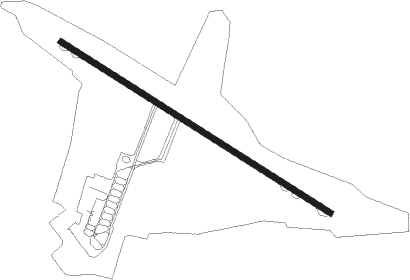
Saratov - Tsentralny
Airport details
| Country | Russian Federation |
| State | Saratov Oblast |
| Region | UW |
| Airspace | Samara Ctr |
| Municipality | Saratov |
| Elevation | 499ft (152m) |
| Timezone | GMT +3 |
| Coordinates | 51.56556, 46.04556 |
| Magnetic var | |
| Type | land |
| Available since | X-Plane v10.40 |
| ICAO code | UWSS |
| IATA code | RTW |
| FAA code | n/a |
Communication
| Tsentralny ATIS | 135.100 |
| Tsentralny Ground Control | 119.000 |
| Tsentralny Tower | 128.100 |
| Tsentralny Radar | 120.400 |
Nearby Points of Interest:
Autogarage and Shop Building, Saratov
-Library, Gorky Street 40, Saratov
-Satov House
-House 41 Moskovskaya Street, Saratov
-Brothers Nikitin Circus
-Library of Saratov State University
-Skvortsov Manor, Saratov
-Nikitin House, Saratov
-Saratov Governorate Treasury
-Nekrasova Street, 17, Saratov
-Nedonoskov House
-Fridolin Pharmacy, Saratov
-Saratov Orthodox Theological Seminary
-Palace of Culture Russia
-Houses of 8 March in Saratov
-Clinical Hospital named S. R. Mirotvortsev SSMU
-Saratov institute of noble maidens
Nearby beacons
| code | identifier | dist | bearing | frequency |
|---|---|---|---|---|
| SA | SARATOV NDB | 1 | 295° | 479 |
| GR | GAGARIN (SARATOV) NDB | 9.5 | 33° | 479 |
| RK | GAGARIN VOR/DME | 10.1 | 44° | 113 |
| US | YELSHANKA NDB | 19.8 | 55° | 970 |
| KR | KRASNOARMEYSK NDB | 35.4 | 217° | 932 |
Disclaimer
The information on this website is not for real aviation. Use this data with the X-Plane flight simulator only! Data taken with kind consent from X-Plane 12 source code and data files. Content is subject to change without notice.