Vadodara
Airport details
| Country | India |
| State | Gujarat |
| Region | VA |
| Airspace | Mumbai Ctr |
| Municipality | Vadodara |
| Elevation | 127ft (39m) |
| Timezone | GMT +5.5 |
| Coordinates | 22.33000, 73.21889 |
| Magnetic var | |
| Type | land |
| Available since | X-Plane v10.40 |
| ICAO code | VABO |
| IATA code | BDQ |
| FAA code | n/a |
Communication
| Vadodara BARODA Tower | 122.350 |
Approach frequencies
| ILS-cat-I | RW22 | 110.5 | 18.00mi |
| 3° GS | RW22 | 110.5 | 18.00mi |
Nearby Points of Interest:
Tomb of Sikandar Shah
-Borsad Stepwell
-Rajgad Fort
-Jami Mosque, Khambhat
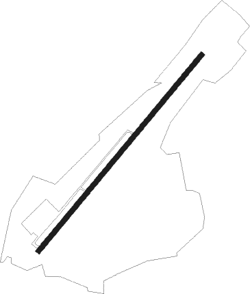
Runway info
| Runway 04 / 22 | ||
| length | 2469m (8100ft) | |
| bearing | 46° / 226° | |
| width | 46m (150ft) | |
| surface | asphalt | |
| displ threshold | 213m (699ft) / 0m (0ft) | |
| blast zone | 61m (200ft) / 63m (207ft) | |
Nearby beacons
| code | identifier | dist | bearing | frequency |
|---|---|---|---|---|
| QQZ | VADODARA VOR/DME | 0.3 | 64° | 117.30 |
| AAE | AHMEDABAD VOR/DME | 55 | 321° | 113.10 |
| AH | AHMEDABAD NDB | 56.5 | 327° | 215 |
Instrument approach procedures
| runway | airway (heading) | route (dist, bearing) |
|---|---|---|
| RW04-Y | DOXOT (12°) | DOXOT 4000ft BO502 (7mi, 312°) 2300ft |
| RW04-Y | MESOT (78°) | MESOT 4000ft BO502 (7mi, 132°) 2300ft |
| RW04-Y | SAGDO (46°) | SAGDO 4000ft BO502 (7mi, 46°) 2300ft |
| RNAV | BO502 2300ft BO508 (6mi, 46°) 1700ft VABO (5mi, 46°) 177ft BO506 (11mi, 47°) BO507 (7mi, 312°) MESOT (22mi, 226°) MESOT (turn) 4000ft | |
| RW22-Y | BOSPU (255°) | BOSPU 4000ft BO607 (7mi, 312°) 2300ft |
| RW22-Y | OSODA (196°) | OSODA 4000ft BO607 (7mi, 132°) 2300ft |
| RW22-Y | RULBO (227°) | RULBO 4000ft BO607 (7mi, 226°) 2300ft |
| RNAV | BO607 2300ft BO608 (6mi, 226°) 1700ft VABO (6mi, 227°) 179ft BO602 (9mi, 226°) BO603 (7mi, 132°) BOSPU (22mi, 46°) BOSPU (turn) 4000ft |
Disclaimer
The information on this website is not for real aviation. Use this data with the X-Plane flight simulator only! Data taken with kind consent from X-Plane 12 source code and data files. Content is subject to change without notice.