Daman
Airport details
| Country | India |
| State | Dadra and Nagar Haveli and Daman and Diu |
| Region | |
| Airspace | Mumbai Ctr |
| Municipality | Daman |
| Elevation | 33ft (10m) |
| Timezone | GMT +5.5 |
| Coordinates | 20.43346, 72.84361 |
| Magnetic var | |
| Type | land |
| Available since | X-Plane v10.40 |
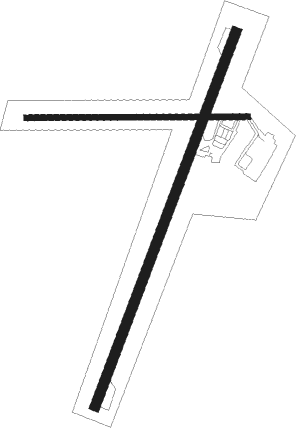
| ICAO code | VADN |
| IATA code | NMB |
| FAA code | n/a |
Communication
| Daman Tower | 118.700 |
| Daman Approach | 120.700 |
Nearby Points of Interest:
Saint Jeronimo's Fort
-Church of Our Lady of the Sea

Nearby beacons
| code | identifier | dist | bearing | frequency |
|---|---|---|---|---|
| DMN | DAMAN VOR/DME | 0.8 | 51° | 113.30 |
| SUR | SURAT VOR/DME | 41 | 351° | 112.20 |
| SG | SONGARH NDB | 59.8 | 45° | 358 |
Disclaimer
The information on this website is not for real aviation. Use this data with the X-Plane flight simulator only! Data taken with kind consent from X-Plane 12 source code and data files. Content is subject to change without notice.