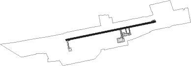
Hubli
Airport details
| Country | India |
| State | Karnataka |
| Region | VO |
| Airspace | Chennai Ctr |
| Municipality | Hubli |
| Elevation | 2169ft (661m) |
| Timezone | GMT +5.5 |
| Coordinates | 15.36194, 75.08444 |
| Magnetic var | |
| Type | land |
| Available since | X-Plane v10.40 |
| ICAO code | VAHB |
| IATA code | HBX |
| FAA code | n/a |
Communication
| Hubli Tower | 122.200 |
Nearby Points of Interest:
Nannesvara Temple, Lakkundi
-Kasivisvesvara Temple, Lakkundi
Nearby beacons
| code | identifier | dist | bearing | frequency |
|---|---|---|---|---|
| HB | HUBLI NDB | 0.2 | 208° | 402 |
| HBL | HUBLI VOR/DME | 0.7 | 75° | 113.40 |
| BBM | BELAGAVI VOR/DME | 40.1 | 317° | 112.10 |
Disclaimer
The information on this website is not for real aviation. Use this data with the X-Plane flight simulator only! Data taken with kind consent from X-Plane 12 source code and data files. Content is subject to change without notice.