Keshod
Airport details
| Country | India |
| State | Gujarat |
| Region | VA |
| Airspace | Mumbai Ctr |
| Municipality | Keshhod Taluka |
| Elevation | 166ft (51m) |
| Timezone | GMT +5.5 |
| Coordinates | 21.31503, 70.26914 |
| Magnetic var | |
| Type | land |
| Available since | X-Plane v10.40 |
| ICAO code | VAKS |
| IATA code | IXK |
| FAA code | n/a |
Communication
| Keshod Tower | 122.300 |
Nearby Points of Interest:
Bava Pyara caves
-Uparkot Caves
-Khapra Kodiya Caves
-Damodar Kund
-Dhank Caves
-Khambhalida Caves
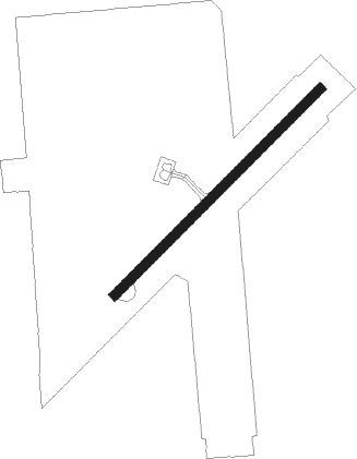
Runway info
| Runway 05 / 23 | ||
| length | 1372m (4501ft) | |
| bearing | 51° / 231° | |
| width | 45m (148ft) | |
| surface | asphalt | |
Nearby beacons
| code | identifier | dist | bearing | frequency |
|---|---|---|---|---|
| KS | KESHOD NDB | 0.4 | 292° | 282 |
| PR | PORBANDAR NDB | 39.1 | 298° | 344 |
| PBN | PORBANDAR VOR/DME | 39.7 | 299° | 112.40 |
| DU | DIU NDB | 51.4 | 133° | 307 |
| RKT | RAJKOT VOR/DME | 66.2 | 27° | 115.40 |
| RK | RAJKOT NDB | 66.3 | 27° | 329 |
Disclaimer
The information on this website is not for real aviation. Use this data with the X-Plane flight simulator only! Data taken with kind consent from X-Plane 12 source code and data files. Content is subject to change without notice.