Rajkot
Airport details
| Country | India |
| State | Gujarat |
| Region | VA |
| Airspace | Mumbai Ctr |
| Municipality | Rajkot |
| Elevation | 440ft (134m) |
| Timezone | GMT +5.5 |
| Coordinates | 22.30944, 70.77944 |
| Magnetic var | |
| Type | land |
| Available since | X-Plane v10.40 |
| ICAO code | VARK |
| IATA code | RAJ |
| FAA code | n/a |
Communication
| Rajkot Tower | 122.100 |
| Rajkot Approach | 122.300 |
Approach frequencies
| ILS-cat-I | RW23 | 110.9 | 18.00mi |
| 3° GS | RW23 | 110.9 | 18.00mi |
Nearby Points of Interest:
Khambhalida Caves
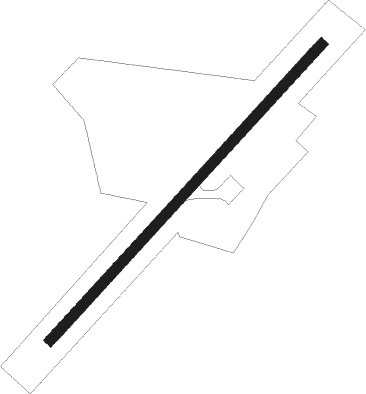
Runway info
| Runway 05 / 23 | ||
| length | 1849m (6066ft) | |
| bearing | 49° / 229° | |
| width | 45m (148ft) | |
| surface | asphalt | |
| displ threshold | 102m (335ft) / 100m (328ft) | |
| blast zone | 149m (489ft) / 150m (492ft) | |
Nearby beacons
| code | identifier | dist | bearing | frequency |
|---|---|---|---|---|
| RKT | RAJKOT VOR/DME | 0.2 | 332° | 115.40 |
| RK | RAJKOT NDB | 0.3 | 80° | 329 |
| JMR | JAMNAGAR NDB | 41.5 | 284° | 257 |
| JNR | JAMNAGAR VOR/DME | 43.3 | 282° | 117.90 |
| KND | DME | 60.9 | 320° | 117.70 |
| KD | KANDLA NDB | 61 | 320° | 335 |
| KS | KESHOD NDB | 66.1 | 208° | 282 |
Disclaimer
The information on this website is not for real aviation. Use this data with the X-Plane flight simulator only! Data taken with kind consent from X-Plane 12 source code and data files. Content is subject to change without notice.