Anuradhapura
Airport details
| Country | Sri Lanka |
| State | North Central Province |
| Region | VC |
| Airspace | Colombo Ctr |
| Municipality | Anuradhapura |
| Elevation | 324ft (99m) |
| Timezone | GMT +5.5 |
| Coordinates | 8.30433, 80.42951 |
| Magnetic var | |
| Type | land |
| Available since | X-Plane v10.40 |
| ICAO code | VCCA |
| IATA code | ACJ |
| FAA code | n/a |
Communication
| Anuradhapura Tower | 120.500 |
| Anuradhapura Approach | 126.700 |
Nearby Points of Interest:
Anuradhapura
-Sigiriya
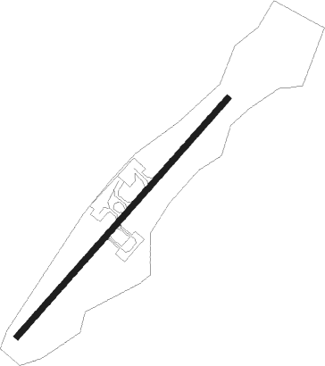
Runway info
| Runway 05 / 23 | ||
| length | 1648m (5407ft) | |
| bearing | 46° / 226° | |
| width | 30m (98ft) | |
| surface | asphalt | |
Nearby beacons
| code | identifier | dist | bearing | frequency |
|---|---|---|---|---|
| AN | ANURADHAPURA NDB | 0.5 | 57° | 415 |
| CHB | CHINA BAY NDB | 46.8 | 73° | 500 |
Disclaimer
The information on this website is not for real aviation. Use this data with the X-Plane flight simulator only! Data taken with kind consent from X-Plane 12 source code and data files. Content is subject to change without notice.