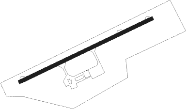
Battambang
Airport details
| Country | Cambodia |
| State | Battambang |
| Region | VD |
| Airspace | Phnom Penh Ctr |
| Elevation | 59ft (18m) |
| Timezone | GMT +7 |
| Coordinates | 13.09289, 103.22324 |
| Magnetic var | |
| Type | land |
| Available since | X-Plane v10.40 |
| ICAO code | VDBG |
| IATA code | BBM |
| FAA code | n/a |
Communication
| Battambang Tower | 122.400 |
Nearby beacons
| code | identifier | dist | bearing | frequency |
|---|---|---|---|---|
| SRE | SIEM REAP VOR/DME | 38.9 | 62° | 113.80 |
| WN | WATTHANA NAKHON NDB | 66.5 | 307° | 270 |
| TRT | DME-ILS | 72.1 | 228° | 109.90 |
| TRT | TRAT NDB | 72.4 | 228° | 384 |
Disclaimer
The information on this website is not for real aviation. Use this data with the X-Plane flight simulator only! Data taken with kind consent from X-Plane 12 source code and data files. Content is subject to change without notice.