Siem Reap
Airport details
| Country | Cambodia |
| State | Siem Reap |
| Region | VD |
| Airspace | Phnom Penh Ctr |
| Elevation | 60ft (18m) |
| Timezone | GMT +7 |
| Coordinates | 13.41083, 103.81223 |
| Magnetic var | |
| Type | land |
| Available since | X-Plane v10.40 |
| ICAO code | VDSR |
| IATA code | REP |
| FAA code | n/a |
Communication
| Siem Reap ATIS | 129.950 |
| Siem Reap Tower | 118.500 |
| Siem Reap Approach | 124.300 |
Approach frequencies
| ILS-cat-I | RW05 | 108.3 | 18.00mi |
| 3° GS | RW05 | 108.3 | 18.00mi |
Nearby Points of Interest:
Angkor
-Roluos
-Phnom Kulen
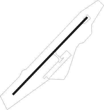
Runway info
| Runway 05 / 23 | ||
| length | 2556m (8386ft) | |
| bearing | 49° / 229° | |
| width | 45m (148ft) | |
| surface | asphalt | |
Nearby beacons
| code | identifier | dist | bearing | frequency |
|---|---|---|---|---|
| SRE | SIEM REAP VOR/DME | 0.3 | 244° | 113.80 |
Departure and arrival routes
| Transition altitude | 10000ft |
| SID end points | distance | outbound heading | |
|---|---|---|---|
| RW23 | |||
| KULE1A | 97mi | 77° | |
| BAYO1A | 52mi | 122° | |
| VIRO1A | 30mi | 185° | |
| OSAP1A | 70mi | 285° | |
| BAKA1A | 57mi | 359° | |
| STAR starting points | distance | inbound heading | |
|---|---|---|---|
| RW05 | |||
| KAMB1B | 30.4 | 39° | |
| MA291B | 84.7 | 90° | |
| BAKA1B | 57.3 | 179° | |
| KULE1B | 67.0 | 257° | |
| VESN1B | 127.3 | 331° | |
Instrument approach procedures
| runway | airway (heading) | route (dist, bearing) |
|---|---|---|
| RW05 | NAYUT (66°) | NAYUT SIVON (5mi, 108°) 3000ft |
| RW05 | NORIN (28°) | NORIN 5000ft SIVON (6mi, 346°) 3000ft |
| RNAV | SIVON 3000ft HUMEN (6mi, 49°) 1600ft VDSR (5mi, 49°) 107ft (6212mi, 263°) 560ft SAMBO (6210mi, 83°) 4000ft SAMBO (turn) |
Disclaimer
The information on this website is not for real aviation. Use this data with the X-Plane flight simulator only! Data taken with kind consent from X-Plane 12 source code and data files. Content is subject to change without notice.