Pakyong
Airport details
| Country | India |
| State | Sikkim |
| Region | |
| Airspace | Guwahati Ctr |
| Municipality | Pakyong subdivision |
| Elevation | 4588ft (1398m) |
| Timezone | GMT +5.5 |
| Coordinates | 27.22608, 88.58479 |
| Magnetic var | |
| Type | land |
| Available since | X-Plane v10.40 |
| ICAO code | VEPY |
| IATA code | n/a |
| FAA code | n/a |
Communication
Nearby Points of Interest:
Rabdentse
-Rabindra Museum
-Darjeeling Himalayan Railway
-Roy Villa
-Gayabari railway station
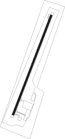
Runway info
| Runway 02 / 20 | ||
| length | 1684m (5525ft) | |
| bearing | 29° / 209° | |
| width | 30m (98ft) | |
| surface | concrete | |
| blast zone | 58m (190ft) / 53m (174ft) | |
Nearby beacons
| code | identifier | dist | bearing | frequency |
|---|---|---|---|---|
| PKG | PAKYONG VOR/DME | 0.2 | 43° | 117.80 |
| BD | BAGDOGRA NDB | 34.6 | 206° | 345 |
| BGD | BAGDOGRA VOR/DME | 35.1 | 206° | 115.20 |
| PR | PARO NDB | 46 | 78° | 410 |
| PRO | PARO VOR/DME | 49.3 | 85° | 108.40 |
Instrument approach procedures
| runway | airway (heading) | route (dist, bearing) |
|---|---|---|
| RW02-Y | PY801 (28°) | PY801 10000ft PY501 (8mi, 28°) 7000ft |
| RNAV | PY501 7000ft PY037 (3mi, 28°) 7000ft PY401 (4mi, 28°) 5655ft PY710 (5mi, 72°) PY711 (3mi, 180°) PY037 (7mi, 251°) PY801 (11mi, 208°) 10000ft PY801 (turn) 10000ft |
Disclaimer
The information on this website is not for real aviation. Use this data with the X-Plane flight simulator only! Data taken with kind consent from X-Plane 12 source code and data files. Content is subject to change without notice.