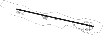
Airports for X-Plane offers a convenient way to explore airports and their related communication information for the X-Plane flight simulator. It only uses data from the X-Plane flight simulator itself, and is therefore more reliable than the data that comes from real aviation websites. You can search for airports by using the ICAO code, or browse for airports per country and state. The information displayed is categorized by airport details, runway information, airport communication, approach frequencies (ILS and Glidepath details), details of nearby beacons, SIDs, STARs and approach procedures.

corporation regional aircraft carrier hangar drome taxiway ferry metro capital airfield traffic pattern international airport luggage city gravel landing landing area aerodromes consulate public transport port

Leh - Thoise

Airport details

CountryIndia
StateLadakh
RegionVI
AirspaceDelhi Ctr
MunicipalityNubra
Elevation10043ft (3061m)
TimezoneGMT +5.5
Coordinates34.65290, 77.37196
Magnetic var
Typeland
Available sinceX-Plane v10.40
ICAO codeVI57
IATA coden/a
FAA coden/a

Communication

No airport communication available for VI57
Nearby Points of Interest:
Likir Monastery

Runway info

Runway 11 / 29
 length3038m (9967ft)
 bearing104° / 284°
 width45m (146ft)
 surfaceasphalt
 blast zone255m (837ft) / 37m (121ft)

Airport layout


Taxiway locations
Parking locations

Nearby beacons

codeidentifierdistbearingfrequency
LLHLEH VOR/DME35.6160°115.70

Disclaimer

The information on this website is not for real aviation. Use this data with the X-Plane flight simulator only! Data taken with kind consent from X-Plane 12 source code and data files. Content is subject to change without notice.