Kangra
Airport details
| Country | India |
| State | Himachal Pradesh |
| Region | VI |
| Airspace | Delhi Ctr |
| Municipality | Shahpur |
| Elevation | 2523ft (769m) |
| Timezone | GMT +5.5 |
| Coordinates | 32.16591, 76.26048 |
| Magnetic var | |
| Type | land |
| Available since | X-Plane v10.40 |
| ICAO code | VIGG |
| IATA code | DHM |
| FAA code | n/a |
Communication
| Kangra Tower | 122.300 |
Nearby Points of Interest:
Lakshana Devi Temple, Bharmour
-Kangra Valley Railway
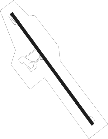
Runway info
| Runway 15 / 33 | ||
| length | 1378m (4521ft) | |
| bearing | 144° / 324° | |
| width | 30m (98ft) | |
| surface | asphalt | |
| displ threshold | 44m (144ft) / 37m (121ft) | |
| blast zone | 53m (174ft) / 41m (135ft) | |
Nearby beacons
| code | identifier | dist | bearing | frequency |
|---|---|---|---|---|
| KNG | KANGRA VOR/DME | 0.2 | 39° | 117.70 |
| PK | PATHANKOT NDB | 32.1 | 277° | 393 |
| BNR | BHUNTAR NDB | 48.4 | 108° | 334 |
Disclaimer
The information on this website is not for real aviation. Use this data with the X-Plane flight simulator only! Data taken with kind consent from X-Plane 12 source code and data files. Content is subject to change without notice.