Leh - Kushok Bakula Rimpochee
Airport details
| Country | India |
| State | Ladakh |
| Region | VI |
| Airspace | Delhi Ctr |
| Municipality | Leh Tehsil |
| Elevation | 10682ft (3256m) |
| Timezone | GMT +5.5 |
| Coordinates | 34.12638, 77.55319 |
| Magnetic var | |
| Type | land |
| Available since | X-Plane v10.40 |
| ICAO code | VILH |
| IATA code | IXL |
| FAA code | n/a |
Communication
| Kushok Bakula Rimpochee Tower | 123.500 |
| Kushok Bakula Rimpochee Approach | 121.150 |
Nearby Points of Interest:
Likir Monastery
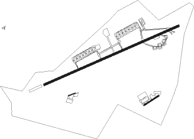
Runway info
Runway 07 / 25  | ||
| length | 3128m (10262ft) | |
| bearing | 74° / 254° | |
| width | 46m (150ft) | |
| surface | asphalt | |
| displ threshold | 0m (0ft) / 361m (1184ft) | |
| blast zone | 77m (253ft) / 30m (98ft) | |
| Runway 08 / 26 | ||
| length | 151m (495ft) | |
| bearing | 76° / 256° | |
| width | 18m (60ft) | |
| surface | asphalt | |
| blast zone | 0m (0ft) / 79m (259ft) | |
| Runway 06 / 24 | ||
| length | 364m (1194ft) | |
| bearing | 66° / 246° | |
| width | 27m (89ft) | |
| surface | asphalt | |
Nearby beacons
| code | identifier | dist | bearing | frequency |
|---|---|---|---|---|
| LLH | LEH VOR/DME | 2.7 | 150° | 115.70 |
Disclaimer
The information on this website is not for real aviation. Use this data with the X-Plane flight simulator only! Data taken with kind consent from X-Plane 12 source code and data files. Content is subject to change without notice.