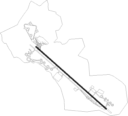
Srinagar
Airport details
| Country | India |
| State | Jammu and Kashmir |
| Region | VI |
| Airspace | Delhi Ctr |
| Municipality | Badgam |
| Elevation | 5429ft (1655m) |
| Timezone | GMT +5.5 |
| Coordinates | 33.98277, 74.78266 |
| Magnetic var | |
| Type | land |
| Available since | X-Plane v10.40 |
| ICAO code | VISR |
| IATA code | SXR |
| FAA code | n/a |
Communication
| Srinagar Tower | 127.900 |
Approach frequencies
| ILS-cat-I | RW31 | 110.3 | 18.00mi |
| 3° GS | RW31 | 110.3 | 18.00mi |
Nearby Points of Interest:
Pari Mahal
-Shankaragaurishvara Temple
Nearby beacons
| code | identifier | dist | bearing | frequency |
|---|---|---|---|---|
| SNG | SRINAGAR VOR/DME | 1.8 | 304° | 115.90 |
| RT | RAWALAKOT NDB | 49.6 | 262° | 295 |
Disclaimer
The information on this website is not for real aviation. Use this data with the X-Plane flight simulator only! Data taken with kind consent from X-Plane 12 source code and data files. Content is subject to change without notice.