Savannakhet
Airport details
| Country | Laos |
| State | Savannakhet Province |
| Region | VL |
| Airspace | Vientiane Ctr |
| Municipality | Savannakhet |
| Elevation | 507ft (155m) |
| Timezone | GMT +7 |
| Coordinates | 16.55000, 104.75972 |
| Magnetic var | |
| Type | land |
| Available since | X-Plane v10.40 |
| ICAO code | VLSK |
| IATA code | ZVK |
| FAA code | n/a |
Communication
| Savannakhet Tower | 118.500 |
Nearby Points of Interest:
Wat Phra That Renu
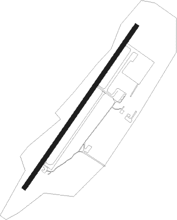
Runway info
| Runway 04 / 22 | ||
| length | 1637m (5371ft) | |
| bearing | 40° / 220° | |
| width | 38m (125ft) | |
| surface | asphalt | |
| blast zone | 251m (823ft) / 200m (656ft) | |
Nearby beacons
| code | identifier | dist | bearing | frequency |
|---|---|---|---|---|
| SAV | SAVANNAKHET VOR/DME | 0.8 | 30° | 113.50 |
| NKP | NAKHON PHANOM VOR/DME | 50.8 | 352° | 111.60 |
| NP | NAKHON PHANOM NDB | 51 | 352° | 383 |
| SKN | SAKON NAKHON VOR/DME | 53.5 | 317° | 114.20 |
| SN | SAKON NAKHON NDB | 53.6 | 315° | 365 |
| RE | ROI ET NDB | 62.4 | 246° | 319 |
| ROT | ROI ET VOR/DME | 62.5 | 246° | 111.20 |
Departure and arrival routes
| Transition altitude | 11000ft |
| Transition level | 13000ft |
| SID end points | distance | outbound heading | |
|---|---|---|---|
| RW04 | |||
| PIDI1B | 53mi | 9° | |
| ENBI1A | 33mi | 58° | |
| ISGA1A | 39mi | 92° | |
| LASA1C | 66mi | 119° | |
| STAR starting points | distance | inbound heading | |
|---|---|---|---|
| RW22 | |||
| PIDI1C | 53.2 | 189° | |
| ENBI1B | 33.3 | 238° | |
| ISGA1B | 39.0 | 272° | |
| LASA1D | 65.9 | 299° | |
Holding patterns
| STAR name | hold at | type | turn | heading* | altitude | leg | speed limit |
|---|---|---|---|---|---|---|---|
| ISGA1B | D093L | VHF | left | 93 (273)° | > 5000ft | 1.0min timed | ICAO rules |
| *) magnetic outbound (inbound) holding course | |||||||
Disclaimer
The information on this website is not for real aviation. Use this data with the X-Plane flight simulator only! Data taken with kind consent from X-Plane 12 source code and data files. Content is subject to change without notice.