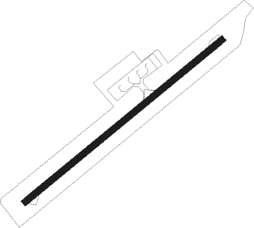
Airports for X-Plane offers a convenient way to explore airports and their related communication information for the X-Plane flight simulator. It only uses data from the X-Plane flight simulator itself, and is therefore more reliable than the data that comes from real aviation websites. You can search for airports by using the ICAO code, or browse for airports per country and state. The information displayed is categorized by airport details, runway information, airport communication, approach frequencies (ILS and Glidepath details), details of nearby beacons, SIDs, STARs and approach procedures.

train station tarmac asphalt taxi landing area international concrete arriving road southwest air terminal aerodromes aircraft aerodrome hangar rail transport airport apron seaplane airspace public transport

Jomsom

Airport details

CountryNepal
StateDhawalagiri
RegionVN
AirspaceKathmandu Ctr
MunicipalityMarpha
Elevation8878ft (2706m)
TimezoneGMT +5.75
Coordinates28.78111, 83.72222
Magnetic var
Typeland
Available sinceX-Plane v10.40
ICAO codeVNJS
IATA codeJMO
FAA coden/a

Communication

Jomsom Jomsom AFIS122.500
Nearby Points of Interest:
Mustang Caves

Runway info

Runway 06 / 24
 length737m (2418ft)
 bearing59° / 239°
 width19m (62ft)
 surfaceasphalt
 blast zone26m (85ft) / 52m (171ft)

Airport layout


Nearby beacons

codeidentifierdistbearingfrequency
PKRDME37.5156°112.80

Disclaimer

The information on this website is not for real aviation. Use this data with the X-Plane flight simulator only! Data taken with kind consent from X-Plane 12 source code and data files. Content is subject to change without notice.