Rajbiraj
Airport details
| Country | Nepal |
| State | Sagarmatha |
| Region | VN |
| Airspace | Kathmandu Ctr |
| Municipality | Itahari Bishnupur |
| Elevation | 250ft (76m) |
| Timezone | GMT +5.75 |
| Coordinates | 26.51056, 86.73833 |
| Magnetic var | |
| Type | land |
| Available since | X-Plane v10.40 |
| ICAO code | VNRB |
| IATA code | RJB |
| FAA code | n/a |
Communication
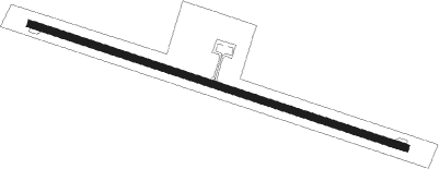
Runway info
| Runway 11 / 29 | ||
| length | 1611m (5285ft) | |
| bearing | 111° / 291° | |
| width | 30m (98ft) | |
| surface | asphalt | |
| displ threshold | 2m (7ft) / 1m (3ft) | |
Nearby beacons
| code | identifier | dist | bearing | frequency |
|---|---|---|---|---|
| BRT | BIRATNAGAR VOR/DME | 27.5 | 93° | 114.10 |
| JKP | JANAKPUR NDB | 45.4 | 284° | 287 |
| KHR | KATIHAR VOR/DME | 69.5 | 138° | 113.70 |
Departure and arrival routes
| Transition altitude | 13500ft |
| Transition level | 15000ft |
| SID end points | distance | outbound heading | |
|---|---|---|---|
| RW11 | |||
| KHOP1A | 37mi | 326° | |
| RW29 | |||
| KHOP1B | 37mi | 326° | |
| STAR starting points | distance | inbound heading | |
|---|---|---|---|
| ALL | |||
| AHAL1A | 52.9 | 138° | |
Instrument approach procedures
| runway | airway (heading) | route (dist, bearing) |
|---|---|---|
| RW11 | LANOB (130°) | LANOB 4500ft RB101 (9mi, 157°) 2500ft |
| RNAV | RB101 2500ft RB102 (6mi, 111°) 1900ft VNRB (5mi, 110°) 299ft (5230mi, 253°) 700ft BHANA (5226mi, 73°) 2300ft BHANA (turn) 3000ft |
Holding patterns
| STAR name | hold at | type | turn | heading* | altitude | leg | speed limit |
|---|---|---|---|---|---|---|---|
| AHAL1A | LANOB | VHF | right | 339 (159)° | 4500ft - 5500ft | 1.0min timed | 170 |
| *) magnetic outbound (inbound) holding course | |||||||
Disclaimer
The information on this website is not for real aviation. Use this data with the X-Plane flight simulator only! Data taken with kind consent from X-Plane 12 source code and data files. Content is subject to change without notice.