Ramechhap
Airport details
| Country | Nepal |
| State | Janakpur |
| Region | VN |
| Airspace | Kathmandu Ctr |
| Municipality | Manthali |
| Elevation | 1555ft (474m) |
| Timezone | GMT +5.75 |
| Coordinates | 27.39389, 86.06139 |
| Magnetic var | |
| Type | land |
| Available since | X-Plane v10.40 |
| ICAO code | VNRC |
| IATA code | RHP |
| FAA code | n/a |
Communication
| Ramechhap Ramechhap AFIS | 122.300 |
Nearby Points of Interest:
Panauti
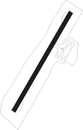
Runway info
| Runway 03 / 21 | ||
| length | 534m (1752ft) | |
| bearing | 38° / 218° | |
| width | 21m (69ft) | |
| surface | asphalt | |
Nearby beacons
| code | identifier | dist | bearing | frequency |
|---|---|---|---|---|
| LNC | NALINCHOWK (KATHMANDU) NDB | 35.2 | 293° | 252 |
| LTH | THECHO (KATHMANDU) NDB | 41.4 | 286° | 230 |
| KTM | KATHMANDU VOR/DME | 41.5 | 291° | 113.20 |
| JKP | JANAKPUR NDB | 41.6 | 192° | 287 |
| KAM | KATHMANDU NDB | 41.7 | 293° | 318 |
Disclaimer
The information on this website is not for real aviation. Use this data with the X-Plane flight simulator only! Data taken with kind consent from X-Plane 12 source code and data files. Content is subject to change without notice.