Rumjatar
Airport details
| Country | Nepal |
| State | Sagarmatha |
| Region | VN |
| Airspace | Kathmandu Ctr |
| Municipality | Siddhicharan |
| Elevation | 4500ft (1372m) |
| Timezone | GMT +5.75 |
| Coordinates | 27.30361, 86.55055 |
| Magnetic var | |
| Type | land |
| Available since | X-Plane v10.40 |
| ICAO code | VNRT |
| IATA code | RUM |
| FAA code | n/a |
Communication
| Rumjatar Rumjatar AFIS | 122.300 |
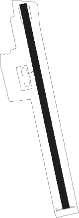
Runway info
| Runway 17 / 35 | ||
| length | 580m (1903ft) | |
| bearing | 172° / 352° | |
| width | 20m (66ft) | |
| surface | asphalt | |
Nearby beacons
| code | identifier | dist | bearing | frequency |
|---|---|---|---|---|
| JKP | JANAKPUR NDB | 48.9 | 227° | 287 |
| BRT | BIRATNAGAR VOR/DME | 61.8 | 140° | 114.10 |
Disclaimer
The information on this website is not for real aviation. Use this data with the X-Plane flight simulator only! Data taken with kind consent from X-Plane 12 source code and data files. Content is subject to change without notice.