Tumling Tar - Tumlingtar
Airport details
| Country | Nepal |
| State | Kosi |
| Region | VN |
| Airspace | Kathmandu Ctr |
| Municipality | Khandbari |
| Elevation | 1314ft (401m) |
| Timezone | GMT +5.75 |
| Coordinates | 27.31722, 87.19527 |
| Magnetic var | |
| Type | land |
| Available since | X-Plane v10.40 |
| ICAO code | VNTR |
| IATA code | TMI |
| FAA code | n/a |
Communication
| Tumlingtar AFIS | 123.950 |
Runway info
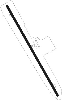
| Runway 16 / 34 | ||
| length | 1404m (4606ft) | |
| bearing | 152° / 332° | |
| width | 30m (98ft) | |
| surface | asphalt | |
| displ threshold | 80m (262ft) / 100m (328ft) | |
Nearby beacons
| code | identifier | dist | bearing | frequency |
|---|---|---|---|---|
| BRT | BIRATNAGAR VOR/DME | 50.1 | 176° | 114.10 |
Disclaimer
The information on this website is not for real aviation. Use this data with the X-Plane flight simulator only! Data taken with kind consent from X-Plane 12 source code and data files. Content is subject to change without notice.