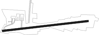
Hosur - Hosur Aerodrome
Airport details
| Country | India |
| State | Tamil Nadu |
| Region | VO |
| Airspace | Chennai Ctr |
| Municipality | Denkanikottai |
| Elevation | 3116ft (950m) |
| Timezone | GMT +5.5 |
| Coordinates | 12.66188, 77.76093 |
| Magnetic var | |
| Type | land |
| Available since | X-Plane v10.40 |
| ICAO code | VO95 |
| IATA code | n/a |
| FAA code | n/a |
Communication
Nearby beacons
| code | identifier | dist | bearing | frequency |
|---|---|---|---|---|
| BBG | BENGALURU VOR/DME | 17.9 | 344° | 115.50 |
| BIA | BENGALURU VOR/DME | 32.7 | 357° | 116.80 |
| BIB | BENGALURU VOR/DME | 45.2 | 12° | 114.50 |
| SL | SALEM NDB | 55.6 | 161° | 241 |
Disclaimer
The information on this website is not for real aviation. Use this data with the X-Plane flight simulator only! Data taken with kind consent from X-Plane 12 source code and data files. Content is subject to change without notice.