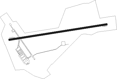
Tiruchirappally - Tiruchirappalli
Airport details
| Country | India |
| State | Tamil Nadu |
| Region | VO |
| Airspace | Chennai Ctr |
| Municipality | Tiruchirappalli |
| Elevation | 288ft (88m) |
| Timezone | GMT +5.5 |
| Coordinates | 10.76442, 78.70829 |
| Magnetic var | |
| Type | land |
| Available since | X-Plane v10.40 |
| ICAO code | VOTR |
| IATA code | TRZ |
| FAA code | n/a |
Communication
| Tiruchirappalli TRICHY Tower | 118.300 |
| Tiruchirappalli TRICHY Tower | 119.700 |
| Tiruchirappalli TRICHY Approach | 119.700 |
Approach frequencies
| ILS-cat-I | RW27 | 110.9 | 18.00mi |
| 3° GS | RW27 | 110.9 | 18.00mi |
Nearby Points of Interest:
Kunnandarkoil Cave Temple
-Vijayalaya Cholesvaram
-Shamshkhan's Mosque
-Shanmughanathar Temple, Kunnakudi
Nearby beacons
| code | identifier | dist | bearing | frequency |
|---|---|---|---|---|
| TTR | TIRUCHIRAPPALLI VOR/DME | 1 | 76° | 113.10 |
| MD | MADURAI NDB | 66 | 213° | 400 |
| MDI | MADURAI VOR/DME | 66.9 | 214° | 116.10 |
Disclaimer
The information on this website is not for real aviation. Use this data with the X-Plane flight simulator only! Data taken with kind consent from X-Plane 12 source code and data files. Content is subject to change without notice.