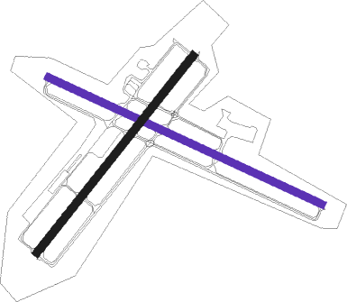
Chennai - Tambaram
Airport details
| Country | India |
| State | Tamil Nadu |
| Region | VO |
| Airspace | Chennai Ctr |
| Municipality | Chengalpattu |
| Elevation | 89ft (27m) |
| Timezone | GMT +5.5 |
| Coordinates | 12.90000, 80.11667 |
| Magnetic var | |
| Type | land |
| Available since | X-Plane v10.40 |
| ICAO code | VOTX |
| IATA code | n/a |
| FAA code | n/a |
Communication
| TAMBARAM Tower | 122.300 |
| TAMBARAM MADRAS Approach | 127.900 |
Nearby Points of Interest:
Dhenupureeswarar Temple (Madambakkam)
-Krishna's Butterball
-Mahabalipuram temples
-Mahishasuramardini Mandapa
-Descent of the Ganges
-Bhima Ratha
-Dharmaraja Ratha
-Matangesvara Temple
-Vaikunda Perumal Temple, Uthiramerur

Nearby beacons
| code | identifier | dist | bearing | frequency |
|---|---|---|---|---|
| MA | CHENNAI NDB | 4.1 | 323° | 228 |
| MMV | CHENNAI VOR/DME | 5.7 | 24° | 112.50 |
| CNI | CHENNAI VOR/DME | 6.9 | 25° | 114.90 |
| KKP | KANCHEEPURAM VOR/DME | 24.6 | 254° | 115.40 |
| TTP | TIRUPATI VOR/DME | 54.7 | 323° | 115.70 |
| OM | PUDUCHERRY NDB | 58.7 | 198° | 385 |
Disclaimer
The information on this website is not for real aviation. Use this data with the X-Plane flight simulator only! Data taken with kind consent from X-Plane 12 source code and data files. Content is subject to change without notice.