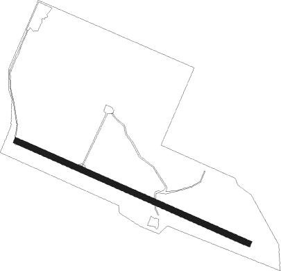
Gelephu
Airport details
| Country | Bhutan |
| State | Sarpang District |
| Region | VQ |
| Airspace | Guwahati Ctr |
| Municipality | Chhoekhorling |
| Elevation | 981ft (299m) |
| Timezone | GMT +6 |
| Coordinates | 26.88453, 90.46420 |
| Magnetic var | |
| Type | land |
| Available since | X-Plane v10.40 |
| ICAO code | VQGP |
| IATA code | GLU |
| FAA code | n/a |
Communication
| Gelephu Tower | 122.650 |
Nearby Points of Interest:
Royal Manas National Park
Nearby beacons
| code | identifier | dist | bearing | frequency |
|---|---|---|---|---|
| BT | BUMTHANG NDB | 43.5 | 22° | 355 |
| PRO | PARO VOR/DME | 57 | 293° | 108.40 |
Disclaimer
The information on this website is not for real aviation. Use this data with the X-Plane flight simulator only! Data taken with kind consent from X-Plane 12 source code and data files. Content is subject to change without notice.